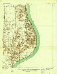
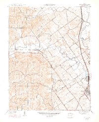
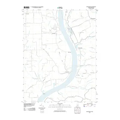
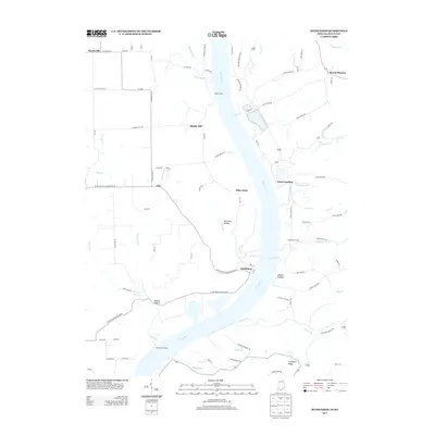
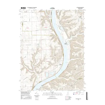
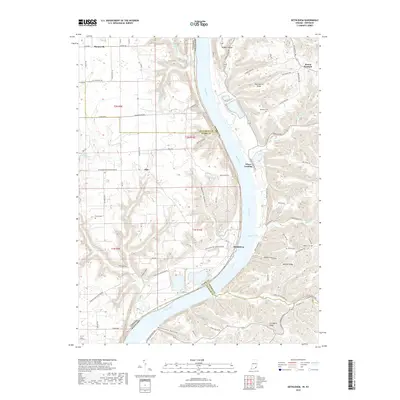
1939 Map of Bethlehem
USGS Topo · Published 1939About this map
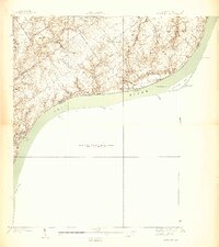
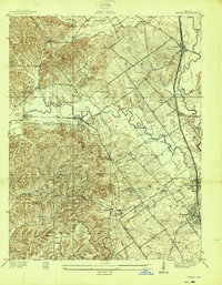
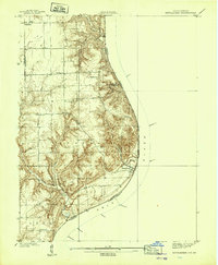
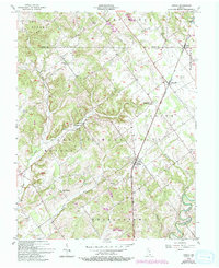
Bethlehem sits at a prominent bend in the Ohio River, serving as a focal point for this 1930s survey along the Indiana and Kentucky border. The landscape is defined by the sharp transition from the river bottomlands to the steep, dissected bluffs of Clark and Jefferson Counties. Inland, the high ground is traversed by Flint Ridge Road, connecting rural communities and family landmarks such as Turner Cem and Fairview Sch.
Find a feature on this map
25 named features on this map. Tap any name to fly to it.
Don’t see what you’re looking for? This feature index may not catch every label — zoom into the map to look around manually.
Map Details
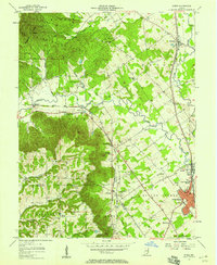
Editions of this 1939 Bethlehem Map
2 editions found
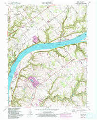
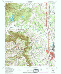
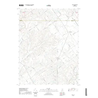
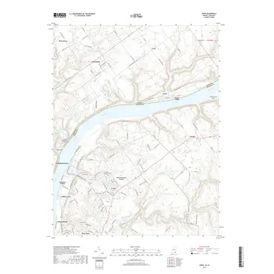
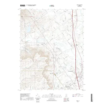
Historical Maps of Bethlehem Through Time
31 maps found
1938 Owen
Clark County, IN
1938 Speed
Clark County, IN
1939 Bethlehem
Clark County, IN
1947 Speed
Clark County, IN
1948 Bethlehem
Clark County, IN
1948 Owen
Clark County, IN
1953 Bethlehem
Clark County, IN
1956 Otisco
Clark County, IN
1957 Speed
Clark County, IN
1961 Owen
Clark County, IN
1963 Speed
Clark County, IN
2010 Bethlehem
Clark County, IN
2010 Otisco
Clark County, IN
2010 Owen
Clark County, IN
2010 Speed
Clark County, IN
2013 Bethlehem
Clark County, IN
2013 Otisco
Clark County, IN
2013 Owen
Clark County, IN
2013 Speed
Clark County, IN
2016 Bethlehem
Clark County, IN
2016 Otisco
Clark County, IN
2016 Owen
Clark County, IN
2016 Speed
Clark County, IN
2019 Bethlehem
Clark County, IN
2019 Otisco
Clark County, IN
2019 Owen
Clark County, IN
2019 Speed
Clark County, IN
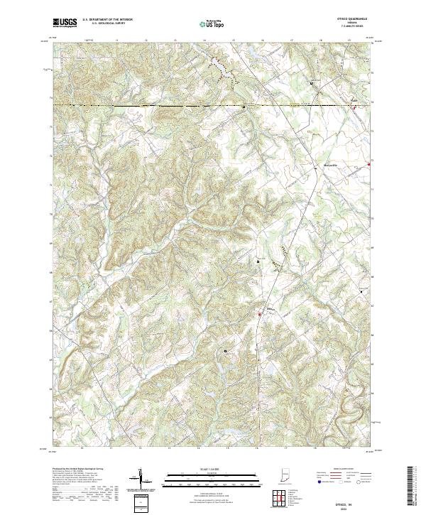
2022 Otisco
Clark County, IN
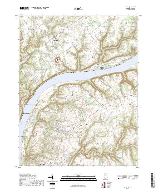
2022 Owen
Clark County, IN
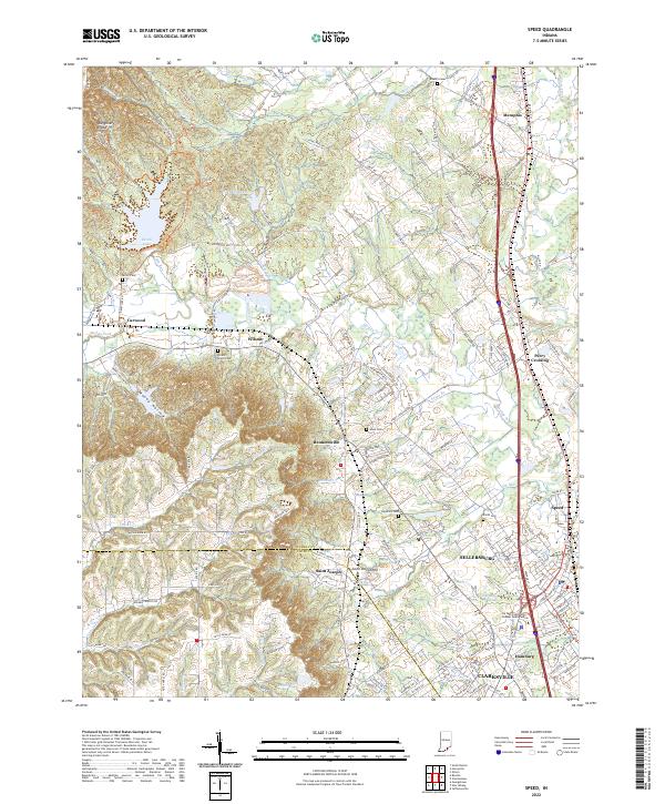
2022 Speed
Clark County, IN
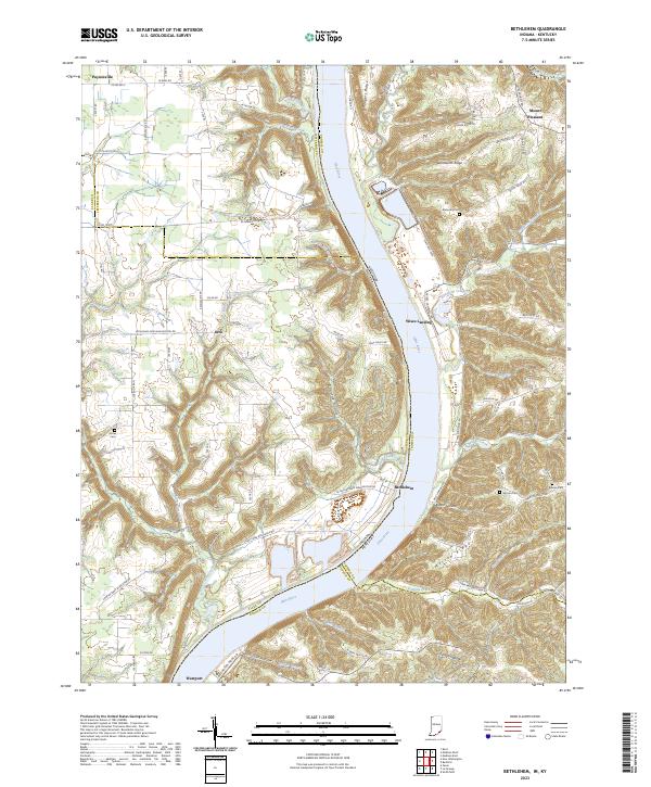
2023 Bethlehem
Clark County, IN