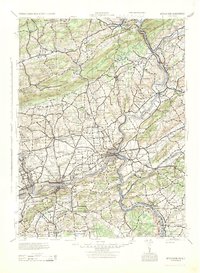
1943 Map of Bethlehem
USGS Topo · Published 1943About this map
The Delaware River cuts through the ancient terrain of the Pocono Mts and Blue Mountain at the iconic Delaware Water Gap, anchoring a landscape defined by the industrial and agricultural corridors of Eastern Pennsylvania and Western New Jersey. This mid-century survey reveals a dense network of transit and industry, where the Lehigh Valley RR and Lackawanna RR follow the winding paths of the Lehigh River and Musconetcong River. The map highlights a transition from the mountainous north, dotted with schools like Mexico School and Johnson Swamp Sch, to the more developed southern valley near Bethlehem and Easton.
Find a feature on this map
311 named features on this map. Tap any name to fly to it.
Don’t see what you’re looking for? This feature index may not catch every label — zoom into the map to look around manually.
Map Details
Editions of this 1943 Bethlehem Map
This is the sole edition of this map. No revisions or reprints were ever made.
Other maps of this area

1888 · Hackettstown
USGS Topo · 1:62,500

1888 · Quakertown
USGS Topo · 1:62,500

1890 · Easton
USGS Topo · 1:62,500

1890 · High Bridge
USGS Topo · 1:62,500

1890 · Lambertville
USGS Topo · 1:62,500

1890 · Doylestown
USGS Topo · 1:62,500

1890 · Quakertown
USGS Topo · 1:62,500

1891 · Easton
USGS Topo · 1:62,500

1891 · Lambertville
USGS Topo · 1:62,500

1891 · Doylestown
USGS Topo · 1:62,500