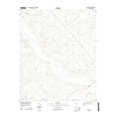
2014 Map of Bethune NW
USGS Topo · Published 2014About this map
The Little Lynches River carves a winding path through the heart of this Kershaw County landscape, anchoring a rural topography defined by tributary streams and family-named landmarks. The map documents a quiet, wooded interior where Shirley Creek, Beaverdam Cr, and Red Oak Camp Cr drain toward the river. Historical continuity is visible in the scattered burial grounds that dot the countryside, including the Scotch Cem and DuBose Cem, which offer significant value for genealogists tracing local families.
Find a feature on this map
57 named features on this map. Tap any name to fly to it.
Don’t see what you’re looking for? This feature index may not catch every label — zoom into the map to look around manually.
Map Details
Editions of this 2014 Bethune NW Map
This is the sole edition of this map. No revisions or reprints were ever made.
Other maps of this area

1935 · Camden
USGS Topo · 1:48,000

1938 · Camden
USGS Topo · 1:62,500

1941 · Spartanburg
USGS Topo · 1:250,000

1942 · Camden
USGS Topo · 1:125,000

1953 · Spartanburg
USGS Topo · 1:250,000

1960 · Spartanburg
USGS Topo · 1:250,000

1963 · Spartanburg
USGS Topo · 1:250,000

1964 · Spartanburg
USGS Topo · 1:250,000

1967 · Angelus
USGS Topo · 1:24,000

1967 · Mount Pisgah
USGS Topo · 1:24,000