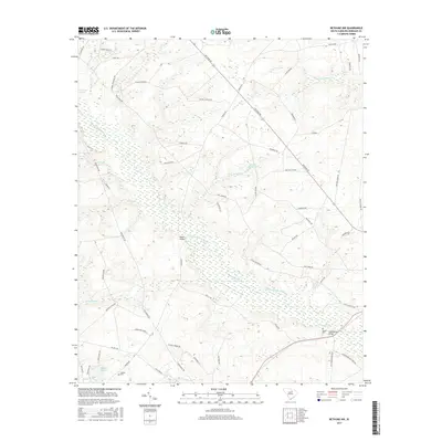
2017 Map of Bethune NW
USGS Topo · Published 2017About this map
The Little Lynches River meanders through the heart of this Kershaw County landscape, creating a broad wetland corridor that defines the local topography. This 2017 survey shows a rural environment where land use is dictated by the river and its many tributaries, including Beaverdam Cr and Red Oak Camp Cr. The settlement pattern is largely focused along corridors like Bethune Rd and Porter Rd, connecting the small community at Porter Bridge to the surrounding farmsteads. For those studying the area's local heritage, the map identifies traditional landmarks such as Bakers Millpond and several family or community burial sites, including Scotch Cem and Dubose Cem. The transition from the sandy uplands to the river bottom is evident in the dense network of named streams like Gully Br and Cow Br that feed into the central waterway.
Find a feature on this map
61 named features on this map. Tap any name to fly to it.
Don’t see what you’re looking for? This feature index may not catch every label — zoom into the map to look around manually.
Map Details
Editions of this 2017 Bethune NW Map
This is the sole edition of this map. No revisions or reprints were ever made.
Other maps of this area

1935 · Camden
USGS Topo · 1:48,000

1938 · Camden
USGS Topo · 1:62,500

1941 · Spartanburg
USGS Topo · 1:250,000

1942 · Camden
USGS Topo · 1:125,000

1953 · Spartanburg
USGS Topo · 1:250,000

1960 · Spartanburg
USGS Topo · 1:250,000

1963 · Spartanburg
USGS Topo · 1:250,000

1964 · Spartanburg
USGS Topo · 1:250,000

1967 · Angelus
USGS Topo · 1:24,000

1967 · Mount Pisgah
USGS Topo · 1:24,000