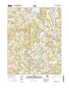
2016 Map of Bettles B-5 NE
USGS Topo · Published 2016About this map
Mingkoket Lake sits in the northern reaches of this landscape within the Yukon-Koyukuk region of interior Alaska. The terrain is characterized by a dense network of water bodies and wetlands, typical of the subarctic environment before the landscape shifts toward the Brooks Range. Flowing through the southern portion of the sheet, the Kanuti Chalatna Cr meanders through low-lying areas, while Bridge Cr drains the western section. This 2016 survey illustrates the intricate natural drainage patterns of the area, showing how the land is divided into townships such as t19n r21w and t18n r22w. The map provides a detailed view of the untouched hydrology of the Kanuti National Wildlife Refuge area, focusing on the specific elevations and shoreline contours of its namesake lakes and creeks.
Find a feature on this map
7 named features on this map. Tap any name to fly to it.
Don’t see what you’re looking for? This feature index may not catch every label — zoom into the map to look around manually.
Map Details
Editions of this 2016 Bettles B-5 NE Map
This is the sole edition of this map. No revisions or reprints were ever made.
Other maps of this area

1951 · Bettles
USGS Topo · 1:250,000

1956 · Bettles
USGS Topo · 1:250,000
1970 · Bettles B-4
USGS Topo · 1:63,360

1970 · Bettles C-4
USGS Topo · 1:63,360
1970 · Bettles B-5
USGS Topo · 1:63,360
1970 · Bettles C-5
USGS Topo · 1:63,360
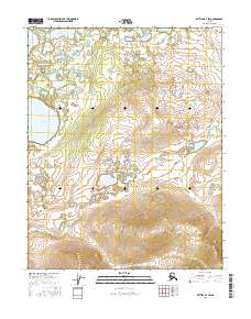
2016 · Bettles B-4 SW
USGS Topo · 1:25,000
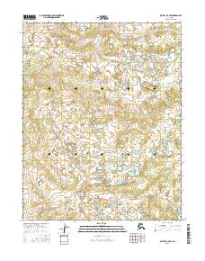
2016 · Bettles B-5 NW
USGS Topo · 1:25,000
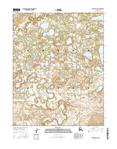
2016 · Bettles B-5 SE
USGS Topo · 1:25,000
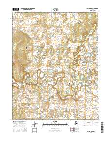
2016 · Bettles B-5 SW
USGS Topo · 1:25,000