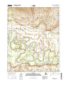
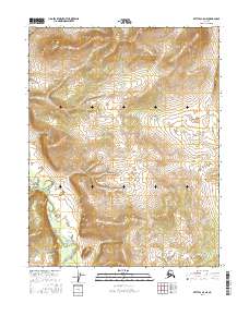
2016 Map of Bettles C-5 SW
USGS Topo · Published 2016About this map
The Koyukuk River dominates this portion of the Alaskan interior, winding in dramatic, serpentine oxbows across the floodplain. The river's shifting path is evident in the numerous sloughs and side channels that carve through the landscape, creating features like Stout Island and the prominent curve at Eightmile Bend. This 2016 survey, produced with data from the Alaska Dept. of Transportation, captures the intricate hydrography of the region where Bridge Cr joins the main river system. The map provides a precise record of the natural waterways and riparian environment within the Yukon-Koyukuk region, reflecting the dynamic nature of Arctic river systems.
Find a feature on this map
10 named features on this map. Tap any name to fly to it.
Don’t see what you’re looking for? This feature index may not catch every label — zoom into the map to look around manually.
Map Details
Editions of this 2016 Bettles C-5 SW Map
This is the sole edition of this map. No revisions or reprints were ever made.
Other maps of this area

1951 · Bettles
USGS Topo · 1:250,000

1956 · Bettles
USGS Topo · 1:250,000
1970 · Bettles B-5
USGS Topo · 1:63,360
1970 · Bettles B-6
USGS Topo · 1:63,360
1970 · Bettles C-5
USGS Topo · 1:63,360
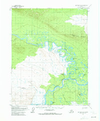
1970 · Bettles C-6
USGS Topo · 1:63,360
2016 · Bettles B-5 NW
USGS Topo · 1:25,000
2016 · Bettles B-6 NE
USGS Topo · 1:25,000
2016 · Bettles B-5 NE
USGS Topo · 1:25,000
2016 · Bettles C-5 NE
USGS Topo · 1:25,000