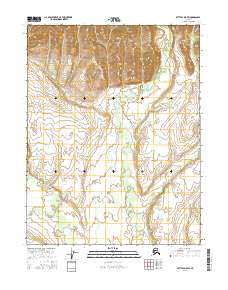
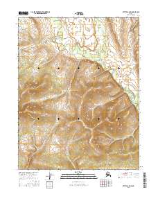
2016 Map of Bettles D-5 SW
USGS Topo · Published 2016About this map
E Fork Henshaw Cr and the W Fork Henshaw Cr dominate this interior Alaskan landscape, shaping the drainage patterns within the Yukon-Koyukuk region. This 2016 survey provides a clear view of the complex topography defined by these waterways as they wind through the expansive valley floors. The map serves as a detailed record of the township and range divisions, including t24n r23w, t24n r22w, and t23n r23w, which help orient researchers within this vast, roadless territory. For those studying the hydrology of the central Brooks Range foothills, the relationship between these two forks of Henshaw Creek illustrates the natural progression of the area's watershed in the early 21st century.
Find a feature on this map
8 named features on this map. Tap any name to fly to it.
Don’t see what you’re looking for? This feature index may not catch every label — zoom into the map to look around manually.
Map Details
Editions of this 2016 Bettles D-5 SW Map
This is the sole edition of this map. No revisions or reprints were ever made.
Other maps of this area

1951 · Bettles
USGS Topo · 1:250,000

1956 · Bettles
USGS Topo · 1:250,000
1970 · Bettles D-6
USGS Topo · 1:63,360
1970 · Bettles C-5
USGS Topo · 1:63,360
1970 · Bettles C-6
USGS Topo · 1:63,360
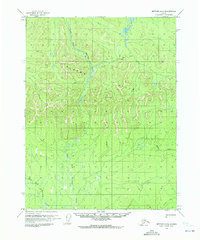
1970 · Bettles D-5
USGS Topo · 1:63,360
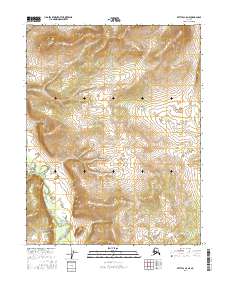
2016 · Bettles C-5 NE
USGS Topo · 1:25,000
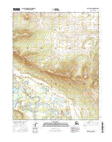
2016 · Bettles C-6 NE
USGS Topo · 1:25,000
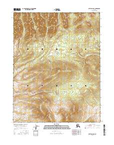
2016 · Bettles D-5 SE
USGS Topo · 1:25,000
2016 · Bettles C-5 NW
USGS Topo · 1:25,000