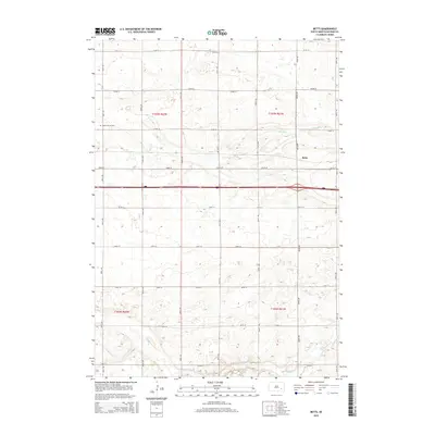
2015 Map of Betts
USGS Topo · Published 2015About this map
The small community of Betts is situated in the eastern portion of this Davison County survey, centered within a landscape defined by the North American agricultural grid. The terrain is marked by intermittent watercourses, including the westward-flowing Dry Run and the southern Enemy Cr, which cut through the level plains. This 2015 edition reflects the established rural infrastructure of Beulah Township, characterized by a dense network of section-line roads such as 254th St and 401st Ave. For genealogists and local historians, the Mount Vernon Cem serves as a significant landmark in the western section of the township, providing a fixed point for tracing family roots in this corner of South Dakota.
Find a feature on this map
24 named features on this map. Tap any name to fly to it.
Don’t see what you’re looking for? This feature index may not catch every label — zoom into the map to look around manually.
Map Details
Editions of this 2015 Betts Map
This is the sole edition of this map. No revisions or reprints were ever made.
Other maps of this area

1899 · Mitchell
USGS Topo · 1:125,000

1955 · Mitchell
USGS Topo · 1:250,000

1957 · Loomis
USGS Topo · 1:24,000

1957 · Mitchell
USGS Topo · 1:24,000

1959 · Mitchell
USGS Topo · 1:250,000
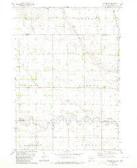
1979 · Letcher SW
USGS Topo · 1:24,000

1979 · Storla
USGS Topo · 1:24,000

1980 · Old Stickney Lake
USGS Topo · 1:24,000
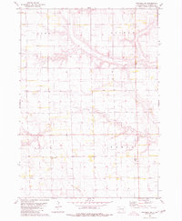
1980 · Mitchell SW
USGS Topo · 1:24,000
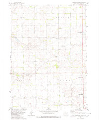
1980 · Shoemaker Dam
USGS Topo · 1:24,000