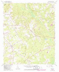
2024 Map of Between
USGS Topo · Published 2024About this map
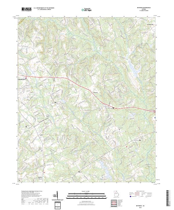
The small settlement of Between serves as the central hub of this Walton County landscape, situated at a junction of regional routes. The surrounding terrain is defined by the headwaters and branches of the Alcovy River, with numerous family-named cemeteries such as Brooks Cem and Mitchell Cem scattered throughout the rural acreage. These burial sites, alongside local landmarks like Split Silk and Youth, indicate a long-standing pattern of dispersed agricultural communities that have persisted despite the encroaching growth from Loganville to the west.
Find a feature on this map
222 named features on this map. Tap any name to fly to it.
Don’t see what you’re looking for? This feature index may not catch every label — zoom into the map to look around manually.
Map Details
Editions of this 2024 Between Map
This is the sole edition of this map. No revisions or reprints were ever made.