
1964 Map of Between
USGS Topo · Published 1965About this map
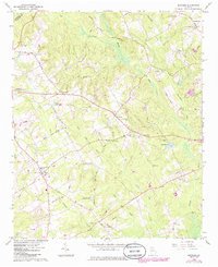
Between sits at the center of this mid-1960s survey of Walton County, functioning as a crossroads for the rural agricultural landscape surrounding it. The map reveals a high density of community landmarks essential to 20th-century Georgia country life, including the West Walton Sch and a deep network of local congregations such as New Hope Ch, Sardis Ch, and Carters Hill Ch. These sites, alongside numerous family burial grounds like Jones Cem and Guthrie Cem, provide a precise record of the social and genealogical geography of the era.
Find a feature on this map
47 named features on this map. Tap any name to fly to it.
Don’t see what you’re looking for? This feature index may not catch every label — zoom into the map to look around manually.
Map Details
Editions of this 1964 Between Map
2 editions found
Other maps of this area

1896 · Monroe
USGS Topo · 1:125,000

1953 · Athens
USGS Topo · 1:250,000

1958 · Athens
USGS Topo · 1:250,000

1959 · Athens
USGS Topo · 1:250,000

1963 · Athens
USGS Topo · 1:250,000

1964 · Bold Springs
USGS Topo · 1:24,000
1964 · Loganville
USGS Topo · 1:24,000

1964 · Monroe
USGS Topo · 1:24,000

1964 · Winder South
USGS Topo · 1:24,000
1964 · Lawrenceville
USGS Topo · 1:24,000