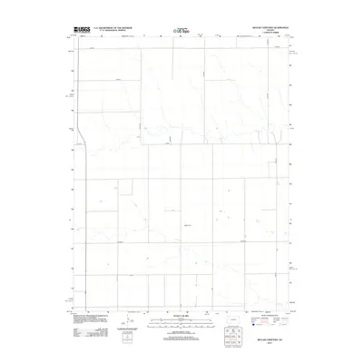
2012 Map of Beulah Cemetery
USGS Topo · Published 2012About this map
Beulah Cem rests at the center of this High Plains landscape, a vital landmark for family historians in western Kansas. The surrounding terrain is defined by a rigorous grid of section lines and rural thoroughfares, including Pence Rd and Co Road D. These routes connect isolated farmsteads and agricultural plots across the township, illustrating the enduring township-and-range settlement pattern that has characterized Wichita County for generations.
Find a feature on this map
11 named features on this map. Tap any name to fly to it.
Don’t see what you’re looking for? This feature index may not catch every label — zoom into the map to look around manually.
Map Details
Editions of this 2012 Beulah Cemetery Map
This is the sole edition of this map. No revisions or reprints were ever made.
Other maps of this area

1939 · Pence
USGS Topo · 1:62,500

1941 · Pence
USGS Topo · 1:62,500

1955 · Scott City
USGS Topo · 1:250,000

1958 · Scott City
USGS Topo · 1:250,000

1968 · Russell Springs 3 SW
USGS Topo · 1:24,000

1968 · Russell Springs 3 NW
USGS Topo · 1:24,000

1968 · Russell Springs 3 SE
USGS Topo · 1:24,000

1968 · Russell Springs 3 NE
USGS Topo · 1:24,000

1969 · Russell Springs 2 SW
USGS Topo · 1:24,000

1969 · Russell Springs 2 SE
USGS Topo · 1:24,000