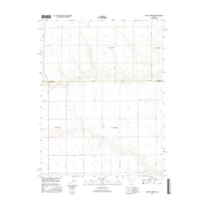
2015 Map of Beulah Cemetery
USGS Topo · Published 2015About this map
Beulah Cem sits at the heart of this high plains landscape, marking a quiet point of reference in the agricultural expanse of western Kansas. The survey highlights the rigid section-line grid that organizes the terrain across the border of Logan and Wichita Counties. Transportation is defined by a network of rural routes, including Adobe Rd and N 4th St, which facilitate movement between the vast fields and distant township centers. The sparse distribution of structures and the precision of the township and range lines, such as t16s r36w, illustrate a landscape dominated by large-scale farming and a low population density typical of the region in the early 21st century. This map offers a clear view of the rural infrastructure and land management patterns that have shaped the High Plains for generations.
Find a feature on this map
20 named features on this map. Tap any name to fly to it.
Don’t see what you’re looking for? This feature index may not catch every label — zoom into the map to look around manually.
Map Details
Editions of this 2015 Beulah Cemetery Map
This is the sole edition of this map. No revisions or reprints were ever made.
Other maps of this area

1939 · Pence
USGS Topo · 1:62,500

1941 · Pence
USGS Topo · 1:62,500

1955 · Scott City
USGS Topo · 1:250,000

1958 · Scott City
USGS Topo · 1:250,000

1968 · Russell Springs 3 SW
USGS Topo · 1:24,000

1968 · Russell Springs 3 NW
USGS Topo · 1:24,000

1968 · Russell Springs 3 SE
USGS Topo · 1:24,000

1968 · Russell Springs 3 NE
USGS Topo · 1:24,000

1969 · Russell Springs 2 SW
USGS Topo · 1:24,000

1969 · Russell Springs 2 SE
USGS Topo · 1:24,000