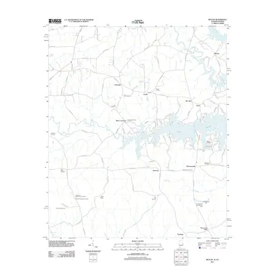
2011 Map of Beulah
USGS Topo · Published 2011About this map
Lake Harding dominates the eastern landscape of this Chambers County quadrangle, where the Chattahoochee River and its various tributaries define the border between Alabama and Georgia. The area is characterized by scattered rural settlements such as Beulah, Yarbrough, and Wacoochee Valley, each connected by a dense network of county roads. For those researching local families, the map is particularly detailed in its placement of historical burial sites, including the John Calhoun Tillery Cemetery, Holt Cemetery, and Lamb Cemetery. The presence of the Salem Lookout Tower and the R E Newman Dam highlights the mid-century infrastructure and forest management patterns of the region. From the elevations of Flint Ridge down to the water’s edge at Blands Landing, the topography illustrates a landscape shaped by both natural drainage and deliberate hydroelectric development.
Find a feature on this map
104 named features on this map. Tap any name to fly to it.
Don’t see what you’re looking for? This feature index may not catch every label — zoom into the map to look around manually.
Map Details
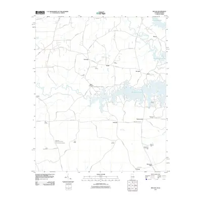
Editions of this 2011 Beulah Map
2 editions found
Other maps of this area

1907 · Opelika
USGS Topo · 1:125,000

1909 · Opelika
USGS Topo · 1:125,000

1955 · Phenix City
USGS Topo · 1:250,000

1957 · Phenix City
USGS Topo · 1:250,000

1958 · Phenix City
USGS Topo · 1:250,000
1964 · Whitesville
USGS Topo · 1:24,000

1964 · Lanett South
USGS Topo · 1:24,000
1965 · Bleecker
USGS Topo · 1:24,000
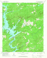
1965 · Bartletts Ferry Dam
USGS Topo · 1:24,000
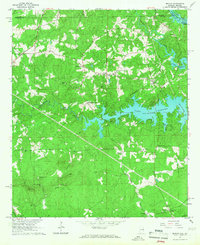
1965 · Beulah
USGS Topo · 1:24,000