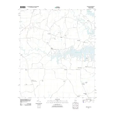
2011 Map of Beulah
USGS Topo · Published 2011About this map
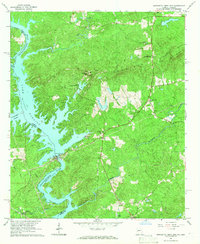
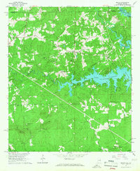
Bartletts Ferry Lake dominates the eastern landscape of this Chambers County region, where the winding inlets of the Chattahoochee River reservoir meet several small rural communities. The map provides a detailed view of the local road network and the numerous small settlements that define the area, including Beulah, Yarbrough, and Wacoochee Valley. Genealogists will find a wealth of specific local data, as the survey identifies many family and community burial sites such as the John Calhoun Tillery Cemetery, Holt Cemetery, and Lamb Cemetery. The presence of the Salem Lookout Tower and multiple dams, including the R E Newman Dam, highlights the area's infrastructure and its role in regional water management. From the heights of Flint Ridge to the lowlands along Halawakee Creek, this record documents the persistent agricultural and residential character of the Alabama-Georgia borderlands.
Find a feature on this map
85 named features on this map. Tap any name to fly to it.
Don’t see what you’re looking for? This feature index may not catch every label — zoom into the map to look around manually.
Map Details
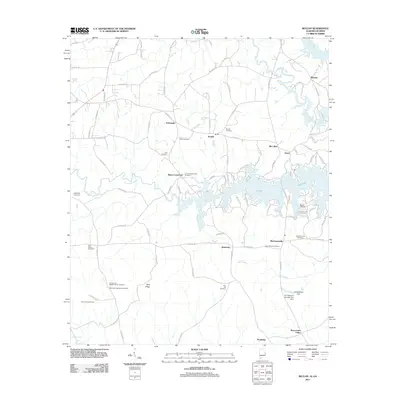
Editions of this 2011 Beulah Map
2 editions found
Other maps of this area

1907 · Opelika
USGS Topo · 1:125,000

1909 · Opelika
USGS Topo · 1:125,000

1955 · Phenix City
USGS Topo · 1:250,000

1957 · Phenix City
USGS Topo · 1:250,000

1958 · Phenix City
USGS Topo · 1:250,000
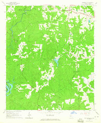
1964 · Whitesville
USGS Topo · 1:24,000

1964 · Lanett South
USGS Topo · 1:24,000
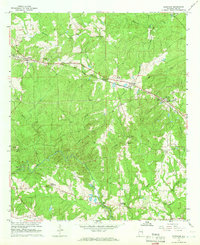
1965 · Bleecker
USGS Topo · 1:24,000
1965 · Bartletts Ferry Dam
USGS Topo · 1:24,000
1965 · Beulah
USGS Topo · 1:24,000