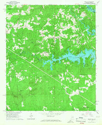
1965 Map of Beulah
USGS Topo · Published 1967About this map
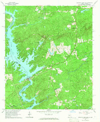
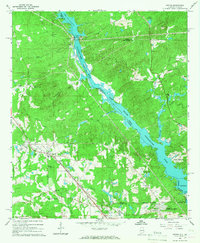
Lake Harding dominates the eastern boundary of this mid-century landscape where the Chattahoochee River separates Lee and Chambers counties in Alabama from Georgia. The intricate shoreline of the lake reaches deep inland via Halawakee Creek, which passes beneath a historic Covered Bridge. This era shows a network of established rural communities and ecclesiastical centers, including Beulah, Mechanicsville, and Wacoochee Valley. Genealogists will find numerous family-named landmarks and local burial grounds, such as the Mountain Springs Cemeteries, Burrell Chapel, and Weeping Mary Ch. Elevated positions like Flint Ridge are marked by the Salem Lookout Tower and a Radio Tower, overlooking a terrain dotted with active Quarries and small settlements like McCulloh and Yarbrough along the rural road network.
Find a feature on this map
38 named features on this map. Tap any name to fly to it.
Don’t see what you’re looking for? This feature index may not catch every label — zoom into the map to look around manually.
Map Details
Editions of this 1965 Beulah Map
2 editions found
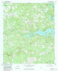
Other maps of this area

1907 · Opelika
USGS Topo · 1:125,000

1909 · Opelika
USGS Topo · 1:125,000

1955 · Phenix City
USGS Topo · 1:250,000

1957 · Phenix City
USGS Topo · 1:250,000

1958 · Phenix City
USGS Topo · 1:250,000
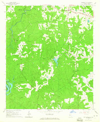
1964 · Whitesville
USGS Topo · 1:24,000

1964 · Lanett South
USGS Topo · 1:24,000
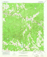
1965 · Bleecker
USGS Topo · 1:24,000
1965 · Bartletts Ferry Dam
USGS Topo · 1:24,000
1965 · Smiths
USGS Topo · 1:24,000