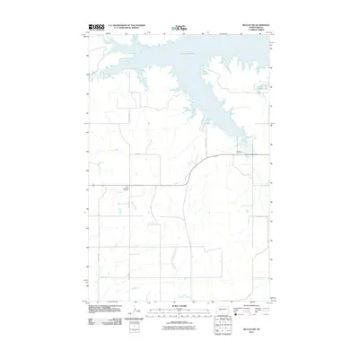
2011 Map of Beulah NW
USGS Topo · Published 2011About this map
Lake Sakakawea dominates the northern reaches of this landscape, its indented shoreline and bays defining the local geography. The map reveals a highly structured rural grid south of the water, where drainage systems like Beaver Creek and the West Branch Antelope Creek cut across the agricultural sections. This survey provides specific value for genealogical research, documenting the locations of the Saint Johannes Cemetery and Neusatz Cemetery, which serve as quiet landmarks among the section lines.
Find a feature on this map
16 named features on this map. Tap any name to fly to it.
Don’t see what you’re looking for? This feature index may not catch every label — zoom into the map to look around manually.
Map Details
Editions of this 2011 Beulah NW Map
This is the sole edition of this map. No revisions or reprints were ever made.
Other maps of this area

1953 · Watford City
USGS Topo · 1:250,000

1954 · McClusky
USGS Topo · 1:250,000

1957 · Watford City
USGS Topo · 1:250,000

1958 · McClusky
USGS Topo · 1:250,000

1967 · Watford City
USGS Topo · 1:250,000

1967 · Blackwater Lake SE
USGS Topo · 1:24,000

1967 · Raub SE
USGS Topo · 1:24,000

1967 · Blackwater Lake SW
USGS Topo · 1:24,000

1968 · Beulah
USGS Topo · 1:24,000

1969 · Beulah NE
USGS Topo · 1:24,000