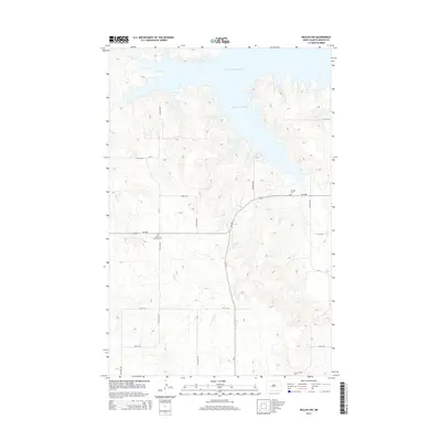
2014 Map of Beulah NW
USGS Topo · Published 2014About this map
Lake Sakakawea and its sprawling northern waters dominate the landscape, with Beaver Creek Bay cutting deep into the Mercer County hills. This high-country prairie terrain is defined by a grid of rural section roads, including CR-13 and ND-1806, which navigate the rises above W Br Antelope Cr. For those researching the heritage of the region, the map identifies two significant sites of local history: Saint Johannes Cem and Neusatz Cem. These locations serve as key landmarks for genealogists and residents tracing the early 20th-century rural communities that once flourished around these burial grounds and the nearby Beaver Cr drainage before modern infrastructure and the Missouri River reservoirs altered the regional topography.
Find a feature on this map
26 named features on this map. Tap any name to fly to it.
Don’t see what you’re looking for? This feature index may not catch every label — zoom into the map to look around manually.
Map Details
Editions of this 2014 Beulah NW Map
This is the sole edition of this map. No revisions or reprints were ever made.
Other maps of this area

1953 · Watford City
USGS Topo · 1:250,000

1954 · McClusky
USGS Topo · 1:250,000

1957 · Watford City
USGS Topo · 1:250,000

1958 · McClusky
USGS Topo · 1:250,000

1967 · Watford City
USGS Topo · 1:250,000

1967 · Blackwater Lake SE
USGS Topo · 1:24,000

1967 · Raub SE
USGS Topo · 1:24,000

1967 · Blackwater Lake SW
USGS Topo · 1:24,000

1968 · Beulah
USGS Topo · 1:24,000

1969 · Beulah NE
USGS Topo · 1:24,000