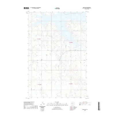
2020 Map of Beulah NW
USGS Topo · Published 2020About this map
Lake Sakakawea dominates the northern reaches of this Mercer County landscape, where the waters of the Missouri River meet the intricate shoreline of Beaver Creek Bay. The terrain transitions from these large water bodies into a network of drainages including Beaver Cr and W Br Antelope Cr, reflecting the high-plains topography typical of the region. Scattered throughout the section lines are markers of the area's early settlement history, most notably the Saint Johannes Cem located near the intersection of 1806 and 67th Ave NW. Further east, the Ree Cem sits on a plateau overlooking the reservoir. The map documents a rural infrastructure of county roads such as Co Rd 13 and Beaver Bay Rd that navigate the ridges and coulees, providing a record of the community's movement between the water's edge and the surrounding ranch land.
Find a feature on this map
22 named features on this map. Tap any name to fly to it.
Don’t see what you’re looking for? This feature index may not catch every label — zoom into the map to look around manually.
Map Details
Editions of this 2020 Beulah NW Map
This is the sole edition of this map. No revisions or reprints were ever made.
Other maps of this area

1953 · Watford City
USGS Topo · 1:250,000

1954 · McClusky
USGS Topo · 1:250,000

1957 · Watford City
USGS Topo · 1:250,000

1958 · McClusky
USGS Topo · 1:250,000

1967 · Watford City
USGS Topo · 1:250,000

1967 · Blackwater Lake SE
USGS Topo · 1:24,000

1967 · Raub SE
USGS Topo · 1:24,000

1967 · Blackwater Lake SW
USGS Topo · 1:24,000

1968 · Beulah
USGS Topo · 1:24,000

1969 · Beulah NE
USGS Topo · 1:24,000