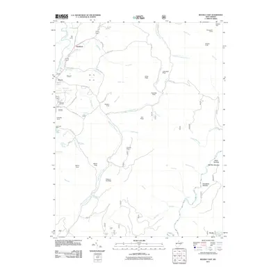
2011 Map of Beverly East
USGS Topo · Published 2011About this map
The Tygart Valley River corridor defines the western edge of this region, where the historic settlement of Beverly stands as a focal point for local heritage. This area is notably rich in genealogical sites, including the Beverly Cemetery, Mount Iser Cemetery, and Stalnaker Cemetery. The terrain is characterized by a series of prominent ridges and knobs, such as Mount Iser, Childers Knob, and Millstone Gap Ridge, which separate the various forks and runs that feed into the larger river systems.
Find a feature on this map
70 named features on this map. Tap any name to fly to it.
Don’t see what you’re looking for? This feature index may not catch every label — zoom into the map to look around manually.
Map Details
Editions of this 2011 Beverly East Map
This is the sole edition of this map. No revisions or reprints were ever made.
Other maps of this area

1889 · Beverly
USGS Topo · 1:125,000

1892 · Beverly
USGS Topo · 1:125,000

1909 · Elkins
USGS Topo · 1:62,500

1922 · Horton
USGS Topo · 1:48,000

1922 · Spruce Knob
USGS Topo · 1:48,000

1922 · Durbin
USGS Topo · 1:48,000

1924 · Durbin
USGS Topo · 1:62,500

1924 · Horton
USGS Topo · 1:62,500

1924 · Spruce Knob
USGS Topo · 1:62,500

1949 · Charlottesville
USGS Topo · 1:250,000