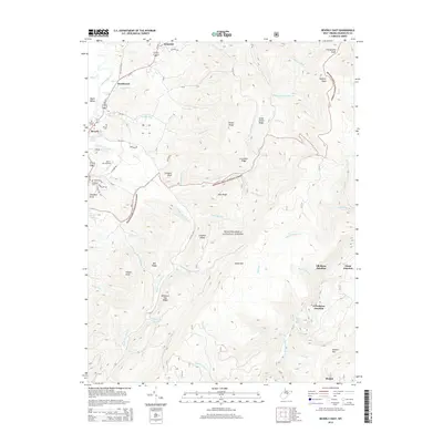
2014 Map of Beverly East
USGS Topo · Published 2014About this map
The Tygart Valley River corridor defines the western edge of this 2014 survey, where the historic settlements of Beverly and Hazelwood sit at the base of the high ridges. This area is a critical location for genealogists, featuring several burial grounds including Beverly Cem, Mt Iser Cem, and Stalnaker Cem. To the south of the Lazy J Aerodrome, the landscape shifts abruptly into the densely wooded elevations of the Monongahela National Forest.
Find a feature on this map
74 named features on this map. Tap any name to fly to it.
Don’t see what you’re looking for? This feature index may not catch every label — zoom into the map to look around manually.
Map Details
Editions of this 2014 Beverly East Map
This is the sole edition of this map. No revisions or reprints were ever made.
Other maps of this area

1889 · Beverly
USGS Topo · 1:125,000

1892 · Beverly
USGS Topo · 1:125,000

1909 · Elkins
USGS Topo · 1:62,500

1922 · Horton
USGS Topo · 1:48,000

1922 · Spruce Knob
USGS Topo · 1:48,000

1922 · Durbin
USGS Topo · 1:48,000

1924 · Durbin
USGS Topo · 1:62,500

1924 · Horton
USGS Topo · 1:62,500

1924 · Spruce Knob
USGS Topo · 1:62,500

1949 · Charlottesville
USGS Topo · 1:250,000