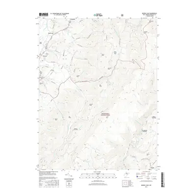
2016 Map of Beverly East
USGS Topo · Published 2016About this map
Elkins and the Tygart Valley River corridor anchor the western edge of this landscape, where the valley floor transitions into the high ridges of the Monongahela National Forest. The historic settlement of Beverly sits at a crossroads, surrounded by local heritage sites including Mount Iser Cem and Beverly Cem. The terrain rises sharply to the east toward Cheat Mtn and Shavers Mtn, where the industrial and rail history of the region is evidenced by Cheat Junction and Greenbrier Junction. These remote junctions near Beulah represent the high-elevation rail network used for timber and coal transport. Between the ridges, numerous watercourses like Shavers Fork and Files Cr have shaped the land, while the Lazy J Aerodrome provides a modern landmark in the valley north of Imboden Knob.
Find a feature on this map
83 named features on this map. Tap any name to fly to it.
Don’t see what you’re looking for? This feature index may not catch every label — zoom into the map to look around manually.
Map Details
Editions of this 2016 Beverly East Map
This is the sole edition of this map. No revisions or reprints were ever made.
Other maps of this area

1889 · Beverly
USGS Topo · 1:125,000

1892 · Beverly
USGS Topo · 1:125,000

1909 · Elkins
USGS Topo · 1:62,500

1922 · Horton
USGS Topo · 1:48,000

1922 · Spruce Knob
USGS Topo · 1:48,000

1922 · Durbin
USGS Topo · 1:48,000

1924 · Durbin
USGS Topo · 1:62,500

1924 · Horton
USGS Topo · 1:62,500

1924 · Spruce Knob
USGS Topo · 1:62,500

1949 · Charlottesville
USGS Topo · 1:250,000