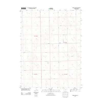
2013 Map of Beverly Grove
USGS Topo · Published 2013About this map
Beverly Grove and the Anderson Ranch serve as the primary landmarks in this sparsely settled corner of Yuma County. The landscape is defined by the rigid grid of the Public Land Survey System, specifically within the townships of t001s r048w, t001s r047w, t002s r048w, and t002s r047w. This geometric organization is reflected on the ground by an extensive network of rural routes such as Co Road G, Co Road H, and Co Road 26, which follow section lines across the High Plains. The topography is subtle, characterized by gentle undulations and seasonal drainage patterns that dictate the placement of ranching outposts in an area primarily dedicated to large-scale agricultural operations. This survey provides a clear view of the rural infrastructure and land management patterns in northeastern Colorado in the early 21st century.
Find a feature on this map
24 named features on this map. Tap any name to fly to it.
Don’t see what you’re looking for? This feature index may not catch every label — zoom into the map to look around manually.
Map Details
Editions of this 2013 Beverly Grove Map
This is the sole edition of this map. No revisions or reprints were ever made.
Other maps of this area

1954 · Limon
USGS Topo · 1:250,000

1954 · Sterling
USGS Topo · 1:250,000

1957 · Limon
USGS Topo · 1:250,000

1958 · Limon
USGS Topo · 1:250,000

1958 · Sterling
USGS Topo · 1:250,000

1968 · Abarr SE
USGS Topo · 1:24,000

1969 · Heartstrong
USGS Topo · 1:24,000

1969 · Schramm
USGS Topo · 1:24,000

1972 · Otis SE
USGS Topo · 1:24,000

1972 · Yuma South
USGS Topo · 1:24,000