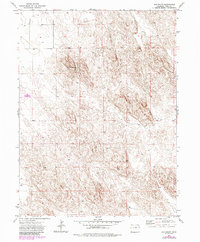
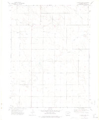
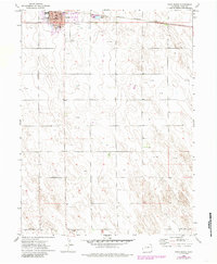
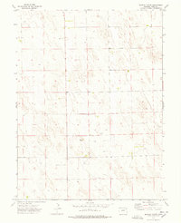
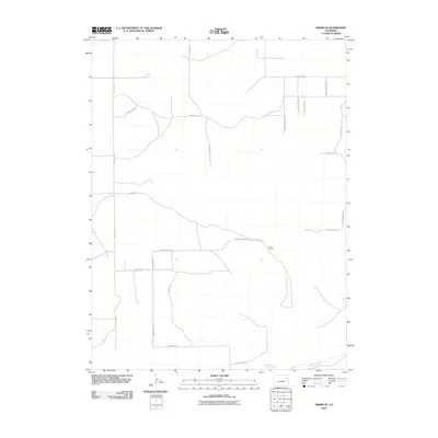
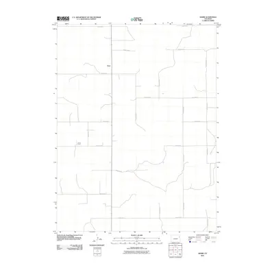
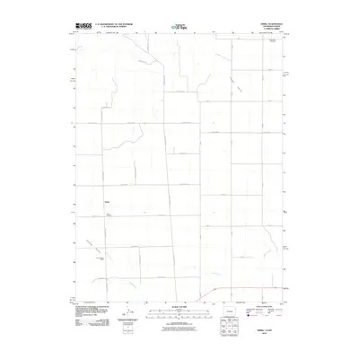
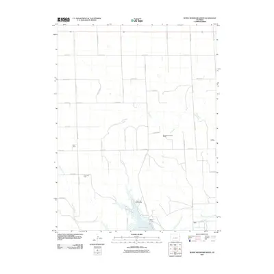
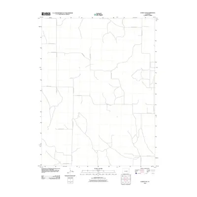
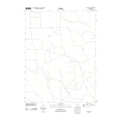
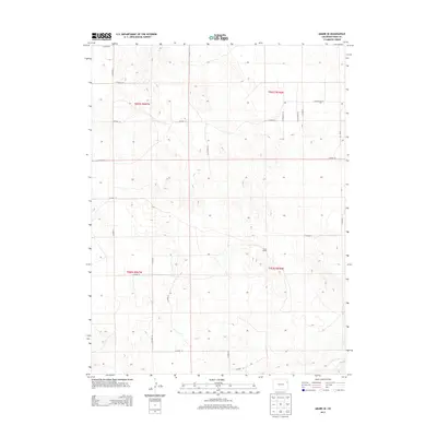
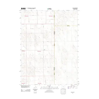
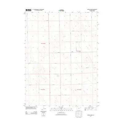
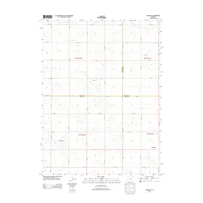
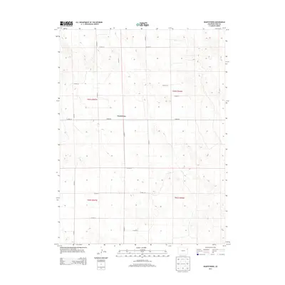
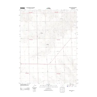
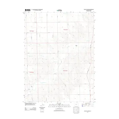
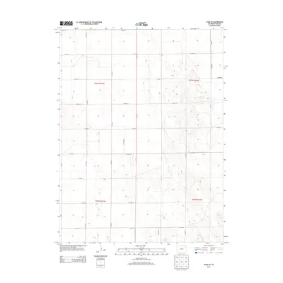
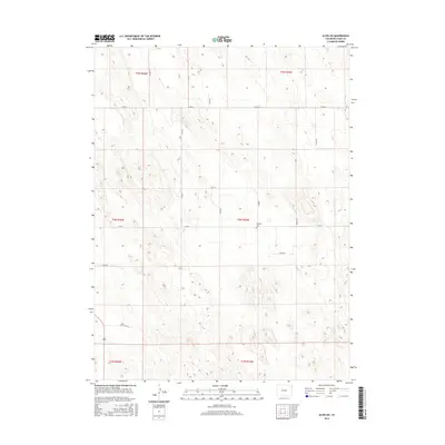
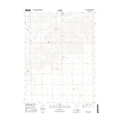
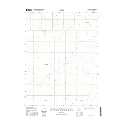
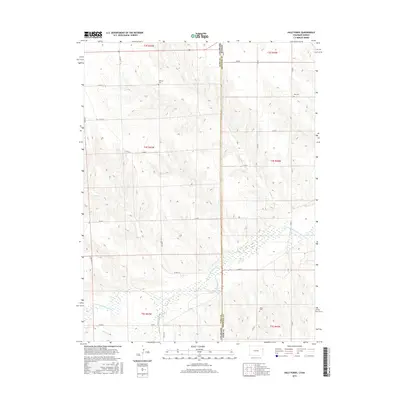
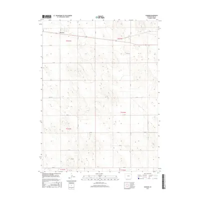
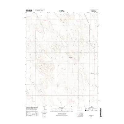
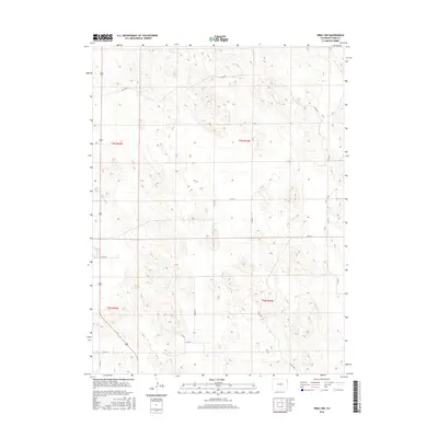
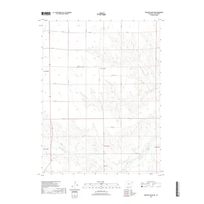
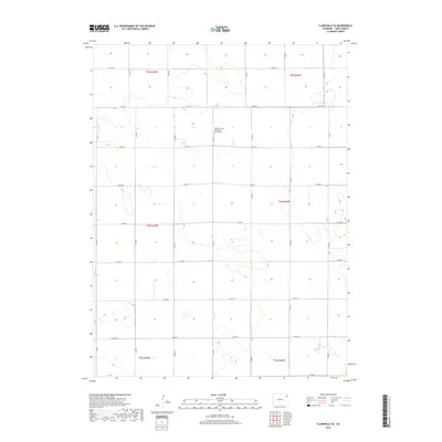
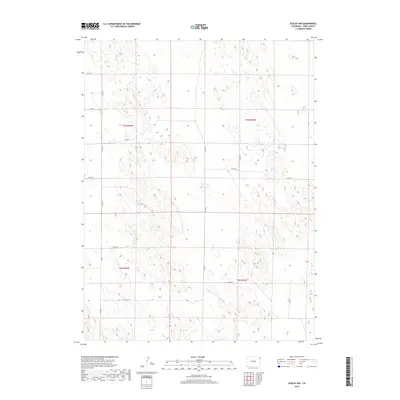
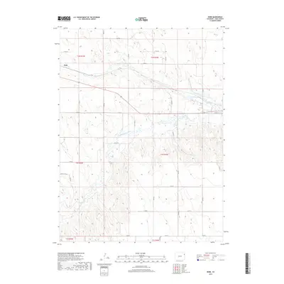
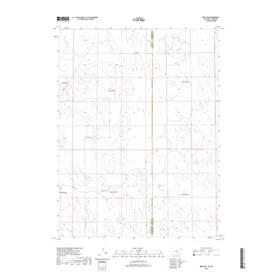
1972 Map of Yuma South
USGS Topo · Published 1975About this map
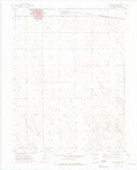
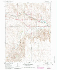
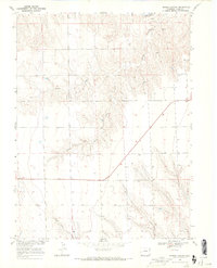
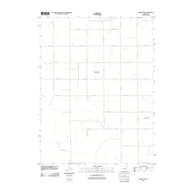
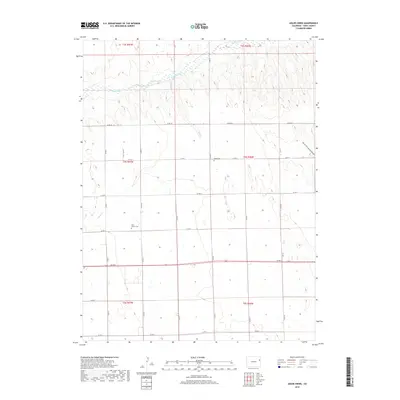
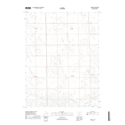
Yuma sits at the northern edge of this survey, serving as the primary hub for the surrounding agricultural plains in the early 1970s. The town's layout is clearly defined, with the Burlington Northern railroad running along its northern boundary and civic institutions like the High Sch and Jr High Sch established near the center. Public spaces such as Park and the waters of Lake Yuma provide a focal point for the community's local geography.
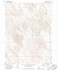
Find a feature on this map
18 named features on this map. Tap any name to fly to it.
Don’t see what you’re looking for? This feature index may not catch every label — zoom into the map to look around manually.
Map Details
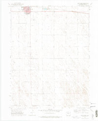
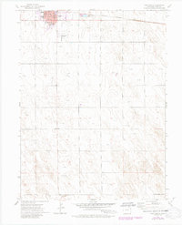
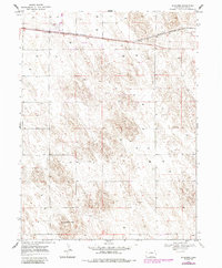
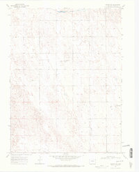
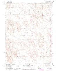
Editions of this 1972 Yuma South Map
4 editions found
Historical Maps of Yuma Through Time
188 maps found
1950 Bonny Reservoir
Yuma County, CO
1961 Robb
Yuma County, CO
1963 Armel
Yuma County, CO
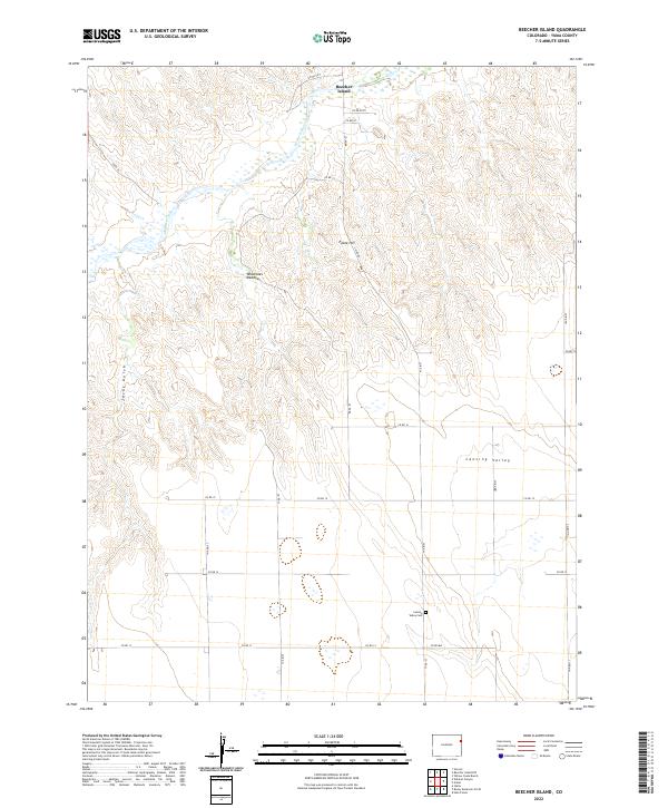
1963 Beecher Island Nw
Yuma County, CO
1963 Beecher Island
Yuma County, CO

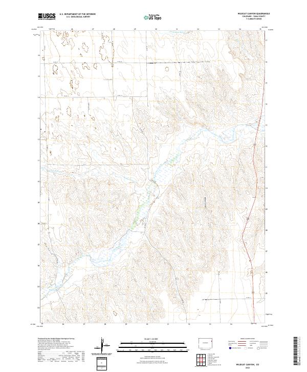
1963 Wildcat Canyon
Yuma County, CO

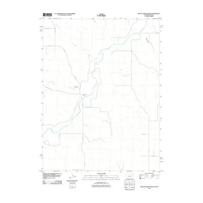
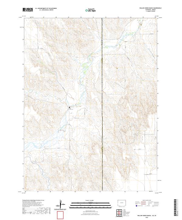
1963 Willow Creek Ranch
Yuma County, CO

1968 Abarr SE
Yuma County, CO

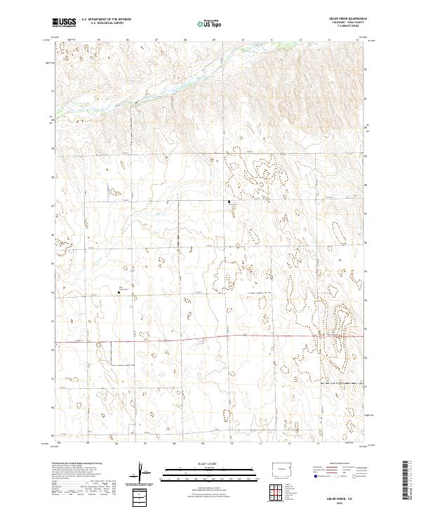
1968 Adler Creek
Yuma County, CO

1968 Bonny Reservoir North
Yuma County, CO
1968 Spring Canyon
Yuma County, CO

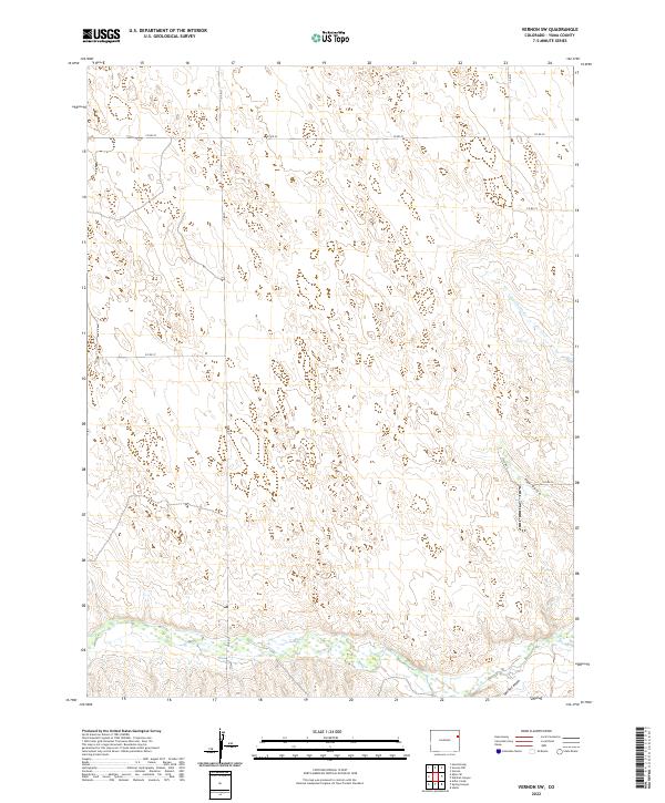
1968 Vernon SW
Yuma County, CO

1969 Heartstrong
Yuma County, CO
1969 Schramm
Yuma County, CO
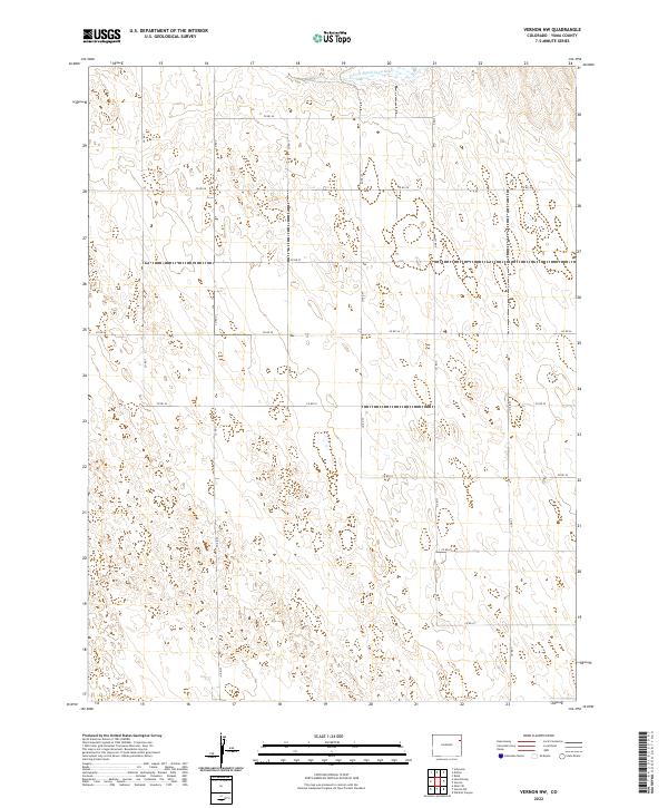
1969 Vernon NW
Yuma County, CO

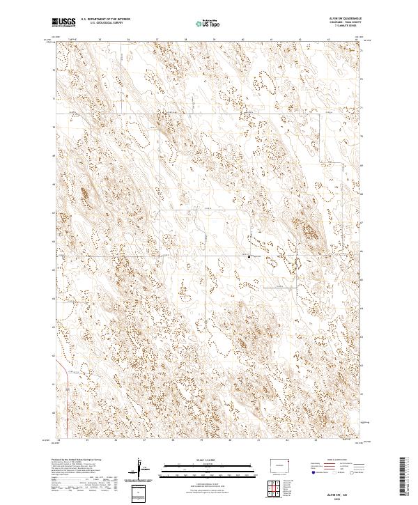
1971 Alvin SW
Yuma County, CO
1971 Alvin
Yuma County, CO

1971 Clarkville SE
Yuma County, CO

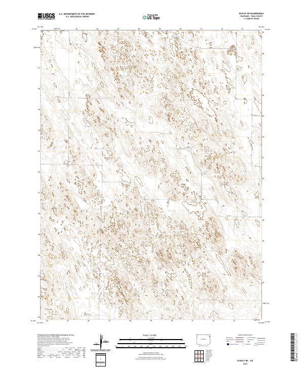
1971 Eckley NE
Yuma County, CO

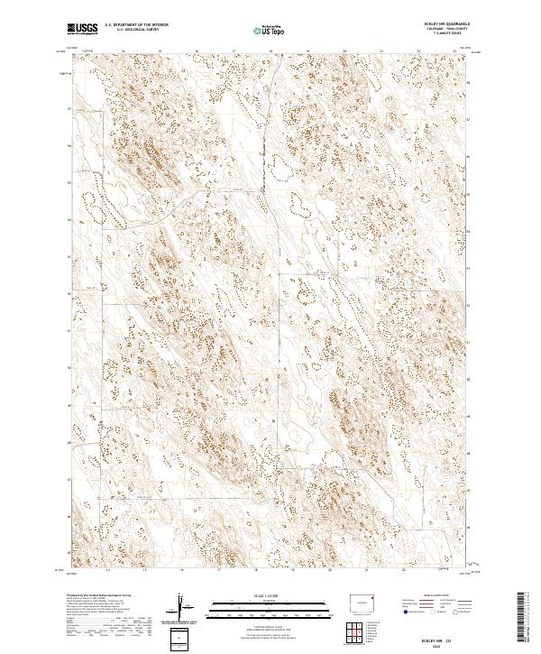
1971 Eckley NW
Yuma County, CO

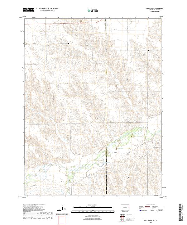
1971 Hale Ponds
Yuma County, CO
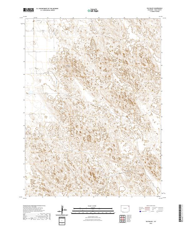
1971 Old Baldy
Yuma County, CO
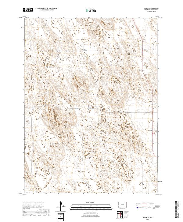
1971 Wauneta
Yuma County, CO
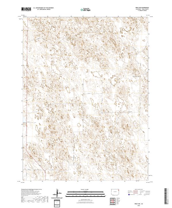
1971 Wray NE
Yuma County, CO
1971 Wray NW
Yuma County, CO

1971 Yuma NE
Yuma County, CO
1972 Clarkville SW
Yuma County, CO

1972 Clarkville
Yuma County, CO

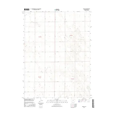
1972 Yuma North
Yuma County, CO
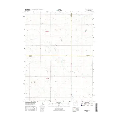
1972 Yuma South
Yuma County, CO

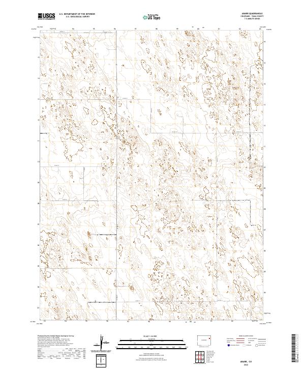
1974 Abarr
Yuma County, CO
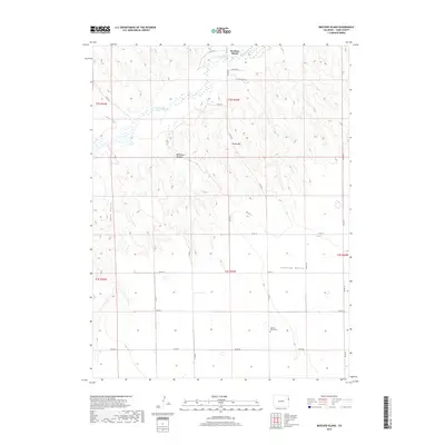
1974 Beverly Grove
Yuma County, CO

1983 Bonny Reservoir
Yuma County, CO
2010 Abarr SE
Yuma County, CO
2010 Abarr
Yuma County, CO
2010 Adler Creek
Yuma County, CO
2010 Alvin SW
Yuma County, CO
2010 Alvin
Yuma County, CO
2010 Armel
Yuma County, CO
2010 Beecher Island NW
Yuma County, CO
2010 Beecher Island
Yuma County, CO
2010 Beverly Grove
Yuma County, CO
2010 Bonny Reservoir North
Yuma County, CO
2010 Clarkville SE
Yuma County, CO
2010 Clarkville SW
Yuma County, CO
2010 Clarkville
Yuma County, CO
2010 Eckley NE
Yuma County, CO
2010 Eckley NW
Yuma County, CO
2010 Hale Ponds
Yuma County, CO
2010 Heartstrong
Yuma County, CO
2010 Old Baldy
Yuma County, CO
2010 Robb
Yuma County, CO
2010 Schramm
Yuma County, CO
2010 Spring Canyon
Yuma County, CO
2010 Vernon NW
Yuma County, CO
2010 Vernon SW
Yuma County, CO
2010 Wauneta
Yuma County, CO
2010 Wildcat Canyon
Yuma County, CO
2010 Willow Creek Ranch
Yuma County, CO
2010 Wray NE
Yuma County, CO
2010 Wray NW
Yuma County, CO
2010 Yuma NE
Yuma County, CO

2010 Yuma North
Yuma County, CO

2010 Yuma South
Yuma County, CO
2013 Abarr SE
Yuma County, CO
2013 Abarr
Yuma County, CO
2013 Adler Creek
Yuma County, CO
2013 Alvin SW
Yuma County, CO
2013 Alvin
Yuma County, CO
2013 Armel
Yuma County, CO
2013 Beecher Island NW
Yuma County, CO
2013 Beecher Island
Yuma County, CO
2013 Beverly Grove
Yuma County, CO
2013 Bonny Reservoir North
Yuma County, CO
2013 Clarkville SE
Yuma County, CO
2013 Clarkville SW
Yuma County, CO
2013 Clarkville
Yuma County, CO
2013 Eckley NE
Yuma County, CO
2013 Eckley NW
Yuma County, CO
2013 Hale Ponds
Yuma County, CO
2013 Heartstrong
Yuma County, CO
2013 Old Baldy
Yuma County, CO
2013 Robb
Yuma County, CO
2013 Schramm
Yuma County, CO
2013 Spring Canyon
Yuma County, CO
2013 Vernon NW
Yuma County, CO
2013 Vernon SW
Yuma County, CO
2013 Wauneta
Yuma County, CO
2013 Wildcat Canyon
Yuma County, CO
2013 Willow Creek Ranch
Yuma County, CO
2013 Wray NE
Yuma County, CO
2013 Wray NW
Yuma County, CO
2013 Yuma NE
Yuma County, CO

2013 Yuma North
Yuma County, CO

2013 Yuma South
Yuma County, CO
2016 Abarr SE
Yuma County, CO
2016 Abarr
Yuma County, CO
2016 Adler Creek
Yuma County, CO
2016 Alvin SW
Yuma County, CO
2016 Alvin
Yuma County, CO
2016 Armel
Yuma County, CO
2016 Beecher Island NW
Yuma County, CO
2016 Beecher Island
Yuma County, CO
2016 Beverly Grove
Yuma County, CO
2016 Bonny Reservoir North
Yuma County, CO
2016 Clarkville SE
Yuma County, CO
2016 Clarkville SW
Yuma County, CO
2016 Clarkville
Yuma County, CO
2016 Eckley NE
Yuma County, CO
2016 Eckley NW
Yuma County, CO
2016 Hale Ponds
Yuma County, CO
2016 Heartstrong
Yuma County, CO
2016 Old Baldy
Yuma County, CO
2016 Robb
Yuma County, CO
2016 Schramm
Yuma County, CO
2016 Spring Canyon
Yuma County, CO
2016 Vernon NW
Yuma County, CO
2016 Vernon SW
Yuma County, CO
2016 Wauneta
Yuma County, CO
2016 Wildcat Canyon
Yuma County, CO
2016 Willow Creek Ranch
Yuma County, CO
2016 Wray NE
Yuma County, CO
2016 Wray NW
Yuma County, CO
2016 Yuma NE
Yuma County, CO

2016 Yuma North
Yuma County, CO

2016 Yuma South
Yuma County, CO
2019 Abarr SE
Yuma County, CO
2019 Abarr
Yuma County, CO
2019 Adler Creek
Yuma County, CO
2019 Alvin SW
Yuma County, CO
2019 Alvin
Yuma County, CO
2019 Armel
Yuma County, CO
2019 Beecher Island NW
Yuma County, CO
2019 Beecher Island
Yuma County, CO
2019 Beverly Grove
Yuma County, CO
2019 Bonny Reservoir North
Yuma County, CO
2019 Clarkville SE
Yuma County, CO
2019 Clarkville SW
Yuma County, CO
2019 Clarkville
Yuma County, CO
2019 Eckley NE
Yuma County, CO
2019 Eckley NW
Yuma County, CO
2019 Hale Ponds
Yuma County, CO
2019 Heartstrong
Yuma County, CO
2019 Old Baldy
Yuma County, CO
2019 Robb
Yuma County, CO
2019 Schramm
Yuma County, CO
2019 Spring Canyon
Yuma County, CO
2019 Vernon NW
Yuma County, CO
2019 Vernon SW
Yuma County, CO
2019 Wauneta
Yuma County, CO
2019 Wildcat Canyon
Yuma County, CO
2019 Willow Creek Ranch
Yuma County, CO
2019 Wray NE
Yuma County, CO
2019 Wray NW
Yuma County, CO
2019 Yuma NE
Yuma County, CO

2019 Yuma North
Yuma County, CO

2019 Yuma South
Yuma County, CO
2022 Abarr SE
Yuma County, CO
2022 Abarr
Yuma County, CO
2022 Adler Creek
Yuma County, CO
2022 Alvin SW
Yuma County, CO

2022 Alvin
Yuma County, CO

2022 Armel
Yuma County, CO
2022 Beecher Island
Yuma County, CO
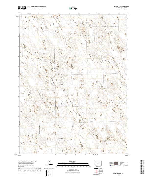
2022 Beverly Grove
Yuma County, CO
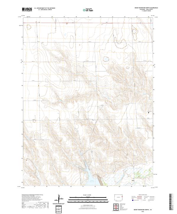
2022 Bonny Reservoir North
Yuma County, CO
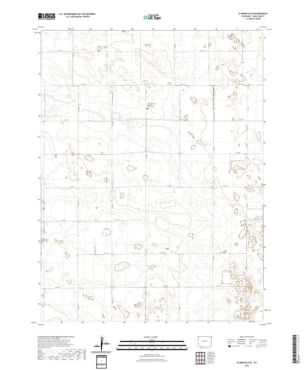
2022 Clarkville SE
Yuma County, CO
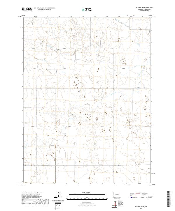
2022 Clarkville SW
Yuma County, CO

2022 Clarkville
Yuma County, CO
2022 Eckley NE
Yuma County, CO
2022 Eckley NW
Yuma County, CO
2022 Hale Ponds
Yuma County, CO

2022 Heartstrong
Yuma County, CO
2022 Old Baldy
Yuma County, CO
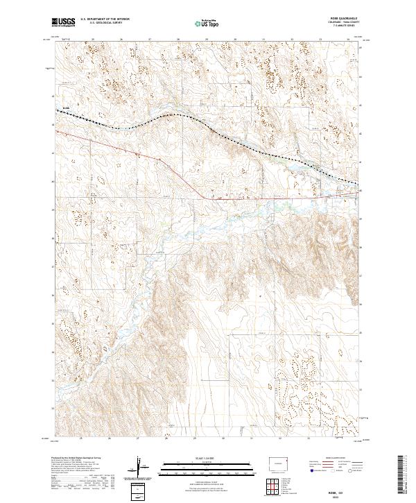
2022 Robb
Yuma County, CO
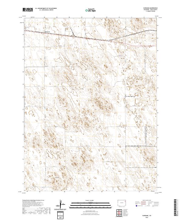
2022 Schramm
Yuma County, CO
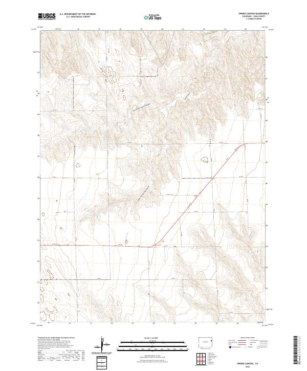
2022 Spring Canyon
Yuma County, CO
2022 Vernon NW
Yuma County, CO
2022 Vernon SW
Yuma County, CO
2022 Wauneta
Yuma County, CO
2022 Wildcat Canyon
Yuma County, CO
2022 Willow Creek Ranch
Yuma County, CO

2022 Wray NE
Yuma County, CO
2022 Wray NW
Yuma County, CO
2022 Yuma NE
Yuma County, CO

2022 Yuma North
Yuma County, CO

2022 Yuma South
Yuma County, CO
2023 Beecher Island NW
Yuma County, CO