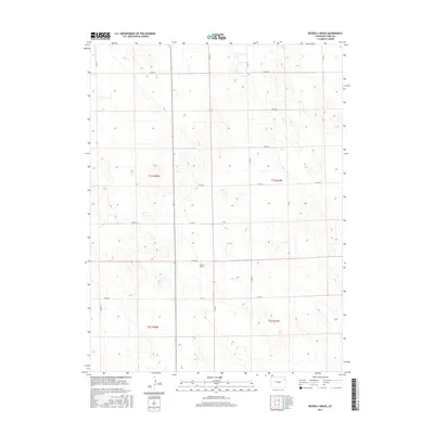
2016 Map of Beverly Grove
USGS Topo · Published 2016About this map
Beverly Grove serves as the focal point for this rural portion of Yuma County, illustrating the systematic grid of the High Plains. The landscape is defined by the Public Land Survey System, with the map clearly delineating the boundaries of t1s r48w, t1s r47w, t2s r48w, and t2s r47w. This structured layout governs the placement of the county road network, where routes like Co Rd D and Co Rd 29 follow section lines with geometric precision. The map provides a detailed view of the agricultural infrastructure and land divisions that have characterized this region since the original homesteading era. Researchers can trace the intersections of local life at crossings such as Co Rd G and Co Rd 24, which connect the isolated homesteads and fields across this expansive territory.
Find a feature on this map
17 named features on this map. Tap any name to fly to it.
Don’t see what you’re looking for? This feature index may not catch every label — zoom into the map to look around manually.
Map Details
Editions of this 2016 Beverly Grove Map
This is the sole edition of this map. No revisions or reprints were ever made.
Other maps of this area

1954 · Limon
USGS Topo · 1:250,000

1954 · Sterling
USGS Topo · 1:250,000

1957 · Limon
USGS Topo · 1:250,000

1958 · Limon
USGS Topo · 1:250,000

1958 · Sterling
USGS Topo · 1:250,000

1968 · Abarr SE
USGS Topo · 1:24,000

1969 · Heartstrong
USGS Topo · 1:24,000

1969 · Schramm
USGS Topo · 1:24,000

1972 · Otis SE
USGS Topo · 1:24,000

1972 · Yuma South
USGS Topo · 1:24,000