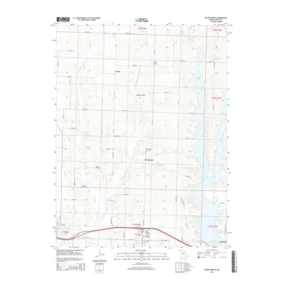
2014 Map of Bevier North
USGS Topo · Published 2014About this map
Bloomington stands as a focal point in this Macon County landscape, situated near the headwaters of Town Cr. The area is characterized by the expansive waters of Long Br Lake, which dominate the eastern portion of the sheet and cover what were once likely agricultural valley floors. The presence of numerous burial grounds, such as the Richards Dale Cemetery, Saint Charles Cemetery, and East Oakwood Cemetery clustered near the southern boundary, suggests a long-settled community with deep genealogical roots.
Find a feature on this map
56 named features on this map. Tap any name to fly to it.
Don’t see what you’re looking for? This feature index may not catch every label — zoom into the map to look around manually.
Map Details
Editions of this 2014 Bevier North Map
This is the sole edition of this map. No revisions or reprints were ever made.
Other maps of this area

1908 · Atlanta
USGS Topo · 1:62,500

1908 · Macon
USGS Topo · 1:62,500

1910 · Macon
USGS Topo · 1:62,500

1937 · Elmer
USGS Topo · 1:48,000

1942 · Elmer
USGS Topo · 1:62,500

1953 · Moberly
USGS Topo · 1:250,000

1953 · Bevier South
USGS Topo · 1:24,000

1953 · Lagonda
USGS Topo · 1:24,000

1954 · Moberly
USGS Topo · 1:250,000

1957 · Moberly
USGS Topo · 1:250,000