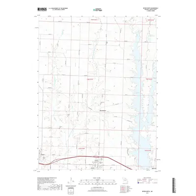
2017 Map of Bevier North
USGS Topo · Published 2017About this map
Bloomington serves as a central point in this Missouri landscape, situated near the headwaters of Town Creek and surrounded by numerous historical burial sites. The terrain is defined by the winding course of the Middle Fork Little Chariton River and its tributaries, including Sweezer Creek and Camp Branch, which carve through the rural countryside. To the east, the sprawling waters of Long Branch Lake dominate the valley, while the southern edge is anchored by the community of Bevier. This area is particularly notable for its concentration of cemeteries, such as Milam Chapel Cem and Saint Charles Cem, which provide significant points of interest for genealogists tracing local families. The road network, featuring State Hwy OO and Old Hwy 36, connects these established settlements to the neighboring town of Callao in the southwest.
Find a feature on this map
72 named features on this map. Tap any name to fly to it.
Don’t see what you’re looking for? This feature index may not catch every label — zoom into the map to look around manually.
Map Details
Editions of this 2017 Bevier North Map
This is the sole edition of this map. No revisions or reprints were ever made.
Other maps of this area

1908 · Atlanta
USGS Topo · 1:62,500

1908 · Macon
USGS Topo · 1:62,500

1910 · Macon
USGS Topo · 1:62,500

1937 · Elmer
USGS Topo · 1:48,000

1942 · Elmer
USGS Topo · 1:62,500

1953 · Moberly
USGS Topo · 1:250,000

1953 · Bevier South
USGS Topo · 1:24,000

1953 · Lagonda
USGS Topo · 1:24,000

1954 · Moberly
USGS Topo · 1:250,000

1957 · Moberly
USGS Topo · 1:250,000