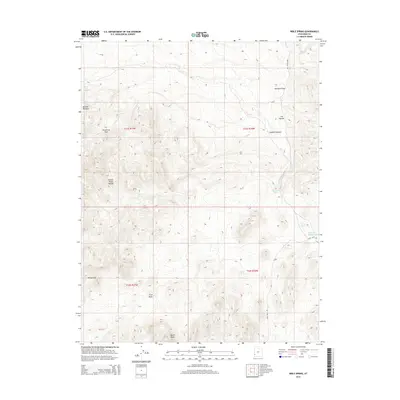
2014 Map of Bible Spring
USGS Topo · Published 2014About this map
Bible Spring sits at the heart of this high-elevation landscape, where a series of seasonal and permanent water sources define the geography of western Iron County. The terrain transitions from the Indian Peak Range toward the North Peaks, marked by dramatic vertical relief and named features like the White Cliff. A network of early 21st-century unpaved roads, including Eight Mile Rd and Pine Valley Rd, provides access to remote gathering spots and grazing lands such as Ponderosa Park and Butcher Meadow.
Find a feature on this map
23 named features on this map. Tap any name to fly to it.
Don’t see what you’re looking for? This feature index may not catch every label — zoom into the map to look around manually.
Map Details
Editions of this 2014 Bible Spring Map
This is the sole edition of this map. No revisions or reprints were ever made.
Other maps of this area

1885 · St. George
USGS Topo · 1:250,000

1891 · St. George
USGS Topo · 1:250,000

1953 · Richfield
USGS Topo · 1:250,000

1953 · Cedar City
USGS Topo · 1:250,000

1958 · Richfield
USGS Topo · 1:250,000

1958 · Cedar City
USGS Topo · 1:250,000

1962 · Cedar City
USGS Topo · 1:250,000

1971 · Observation Knoll
USGS Topo · 1:24,000

1971 · Pinto Spring
USGS Topo · 1:24,000

1971 · Bible Spring
USGS Topo · 1:24,000