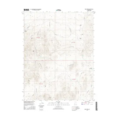
2017 Map of Bible Spring
USGS Topo · Published 2017About this map
Bible Spring serves as a central landmark in this high-altitude landscape where the Indian Peak Range meets the vast basin and range province. The terrain is defined by its water resources, with numerous named points such as Keel Spring, Meadow Spring, and Typhoid Spring supporting the livestock and wild populations of this arid region. The geography is carved by significant drainage systems including Sawmill Canyon and Mountain Spring Wash, which cut through a landscape of distinct summits like N Peaks and geological formations such as the White Cliff. The naming of features like Rustlers Draw and The Movies suggests a cultural history tied to both the frontier past and more modern interpretations of the Western landscape. Settlement is minimal, centered primarily around Ponderosa Park, while a network of service roads like Pine Valley Rd and the Lone Pine Pipeline Spr track the essential infrastructure of water management and land access.
Find a feature on this map
37 named features on this map. Tap any name to fly to it.
Don’t see what you’re looking for? This feature index may not catch every label — zoom into the map to look around manually.
Map Details
Editions of this 2017 Bible Spring Map
This is the sole edition of this map. No revisions or reprints were ever made.
Other maps of this area

1885 · St. George
USGS Topo · 1:250,000

1891 · St. George
USGS Topo · 1:250,000

1953 · Richfield
USGS Topo · 1:250,000

1953 · Cedar City
USGS Topo · 1:250,000

1958 · Richfield
USGS Topo · 1:250,000

1958 · Cedar City
USGS Topo · 1:250,000

1962 · Cedar City
USGS Topo · 1:250,000

1971 · Observation Knoll
USGS Topo · 1:24,000

1971 · Pinto Spring
USGS Topo · 1:24,000

1971 · Bible Spring
USGS Topo · 1:24,000