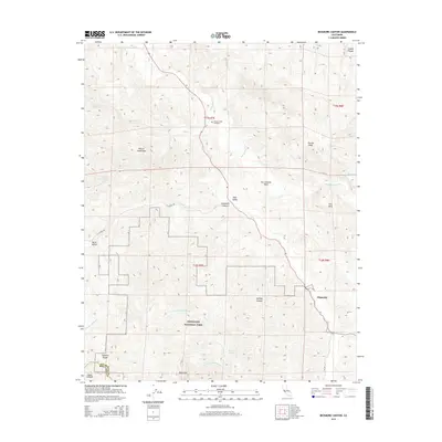
2015 Map of Bickmore Canyon
USGS Topo · Published 2015About this map
Pinnacles National Park occupies the southern reaches of this landscape, where the distinct volcanic spires of the Pinnacles rise above the high desert floor. The area is defined by the massive tectonic forces of the San Andreas Fault, which cuts through the central valley and separates the Gabilan Range from the Diablo Range. This geological rift dictates the drainage patterns of the San Benito River and its various tributaries, including Willow Creek and North Fork Chalone Creek.
Find a feature on this map
31 named features on this map. Tap any name to fly to it.
Don’t see what you’re looking for? This feature index may not catch every label — zoom into the map to look around manually.
Map Details
Editions of this 2015 Bickmore Canyon Map
This is the sole edition of this map. No revisions or reprints were ever made.
Other maps of this area

1915 · Soledad
USGS Topo · 1:62,500

1919 · San Benito
USGS Topo · 1:62,500

1921 · Gonzales
USGS Topo · 1:62,500

1921 · Metz
USGS Topo · 1:62,500

1931 · San Benito
USGS Topo · 1:62,500

1940 · Metz
USGS Topo · 1:62,500

1940 · Soledad
USGS Topo · 1:62,500

1940 · San Benito
USGS Topo · 1:62,500
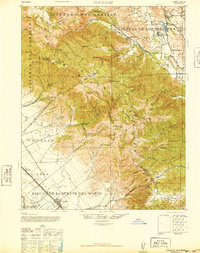
1940 · Gonzales
USGS Topo · 1:62,500
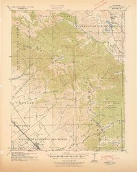
1941 · Gonzales
USGS Topo · 1:62,500