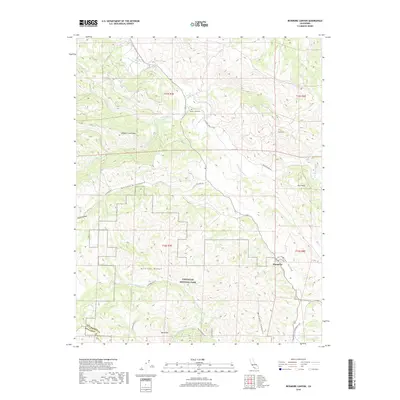
2018 Map of Bickmore Canyon
USGS Topo · Published 2018About this map
Pinnacles National Park occupies the southern heart of this map, where the complex terrain of the Gabilan Range transitions into deep drainages. The landscape is defined by the headwaters of the San Benito River and numerous tributaries like Willow Cr and N Fork Chalone Cr. Evidence of early cattle ranching and transportation is found along La Gloria Rd and Willow Creek Rd, while the Willow Creek Cem provides a specific point of reference for local family history in the northern valley. To the south, hikers and researchers can trace the routes of the Old Pinnacles Tr and N Wilderness Tr as they wind through the high-relief features of Balconies and Bear Valley, reflecting the area's dual character as both a working ranchland and a preserved wilderness.
Find a feature on this map
30 named features on this map. Tap any name to fly to it.
Don’t see what you’re looking for? This feature index may not catch every label — zoom into the map to look around manually.
Map Details
Editions of this 2018 Bickmore Canyon Map
This is the sole edition of this map. No revisions or reprints were ever made.
Other maps of this area

1915 · Soledad
USGS Topo · 1:62,500

1919 · San Benito
USGS Topo · 1:62,500

1921 · Gonzales
USGS Topo · 1:62,500

1921 · Metz
USGS Topo · 1:62,500

1931 · San Benito
USGS Topo · 1:62,500

1940 · Metz
USGS Topo · 1:62,500

1940 · Soledad
USGS Topo · 1:62,500

1940 · San Benito
USGS Topo · 1:62,500
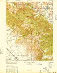
1940 · Gonzales
USGS Topo · 1:62,500
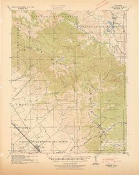
1941 · Gonzales
USGS Topo · 1:62,500