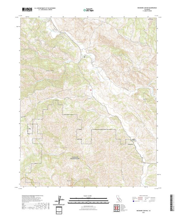
2021 Map of Bickmore Canyon
USGS Topo · Published 2021About this map
Pinnacles National Park anchors the southern half of this landscape, where the Gabilan Range transitions into the drainage of the San Benito River. The terrain is defined by its dramatic elevation changes, moving from the depths of Bickmore Canyon and McCabe Canyon up to prominent summits like Willow Creek Peak and Pionne Peak. For those researching the early settlement of the area, the Willow Creek Cem and the small collection of buildings at Pinnacles provide tangible links to the local history of San Benito County.
Find a feature on this map
31 named features on this map. Tap any name to fly to it.
Don’t see what you’re looking for? This feature index may not catch every label — zoom into the map to look around manually.
Map Details
Editions of this 2021 Bickmore Canyon Map
This is the sole edition of this map. No revisions or reprints were ever made.
Other maps of this area

1915 · Soledad
USGS Topo · 1:62,500

1919 · San Benito
USGS Topo · 1:62,500

1921 · Gonzales
USGS Topo · 1:62,500

1921 · Metz
USGS Topo · 1:62,500

1931 · San Benito
USGS Topo · 1:62,500

1940 · Metz
USGS Topo · 1:62,500

1940 · Soledad
USGS Topo · 1:62,500

1940 · San Benito
USGS Topo · 1:62,500
1940 · Gonzales
USGS Topo · 1:62,500
1941 · Gonzales
USGS Topo · 1:62,500