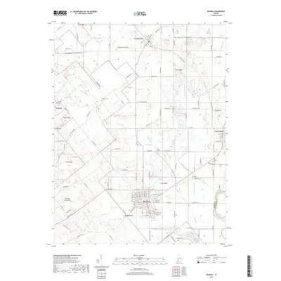
2019 Map of Bicknell
USGS Topo · Published 2019About this map
Bicknell serves as the primary urban center in this portion of Knox County, where a grid of residential streets meets the bend of the White River. The landscape is defined by an extensive network of drainage infrastructure, such as Miller Ditch, Kuhn Ditch, and Purdy-Marsh Ditch, which manage the low-lying terrain of Mills Prairie. These engineered waterways reflect the region's transition from natural wetlands to productive agricultural land.
Find a feature on this map
138 named features on this map. Tap any name to fly to it.
Don’t see what you’re looking for? This feature index may not catch every label — zoom into the map to look around manually.
Map Details
Editions of this 2019 Bicknell Map
This is the sole edition of this map. No revisions or reprints were ever made.
Other maps of this area

1942 · Fritchton
USGS Topo · 1:24,000

1943 · Carlisle
USGS Topo · 1:24,000

1943 · Oaktown
USGS Topo · 1:24,000

1943 · Sandborn
USGS Topo · 1:24,000

1943 · Bicknell
USGS Topo · 1:24,000

1943 · Plainville
USGS Topo · 1:24,000

1944 · Bucktown
USGS Topo · 1:24,000

1944 · Fritchton
USGS Topo · 1:24,000

1944 · Washington
USGS Topo · 1:24,000

1944 · Wheatland
USGS Topo · 1:24,000