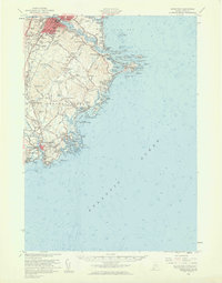
1956 Map of Biddeford
USGS Topo · Published 1960About this map
Saco River serves as the primary artery separating the twin industrial hubs of Biddeford and Saco, shown here during a period of post-war coastal expansion. The map details a dense cultural landscape where long-standing institutions like St Francis College and Stella Maris Convent stand alongside the infrastructure of a growing community, including the Biddeford Airport and the Boston and Maine Railroad. Along the Atlantic coast, the shoreline is punctuated by maritime landmarks such as the Wood Island Lighthouse and Goat Island Lighthouse, which guarded the entrance to The Pool and Cape Porpoise Harbor. This 1950s survey captures the region just before the significant modern shift toward seasonal tourism, evidenced by the clustered settlements at Hills Beach and Goose Rocks Beach, while rural crossroads like Tattle Corner and Tea Kettle Corner maintain their traditional local identities.
Find a feature on this map
122 named features on this map. Tap any name to fly to it.
Don’t see what you’re looking for? This feature index may not catch every label — zoom into the map to look around manually.
Map Details
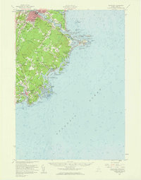
Editions of this 1956 Biddeford Map
2 editions found
Other maps of this area

1891 · Portland
USGS Topo · 1:62,500

1891 · Biddeford
USGS Topo · 1:62,500

1891 · Kennebunk
USGS Topo · 1:62,500

1891 · Buxton
USGS Topo · 1:62,500

1892 · Buxton
USGS Topo · 1:62,500

1893 · Kennebunk
USGS Topo · 1:62,500

1893 · York
USGS Topo · 1:62,500

1893 · Biddeford
USGS Topo · 1:62,500

1893 · Portland
USGS Topo · 1:62,500

1893 · Casco Bay
USGS Topo · 1:62,500