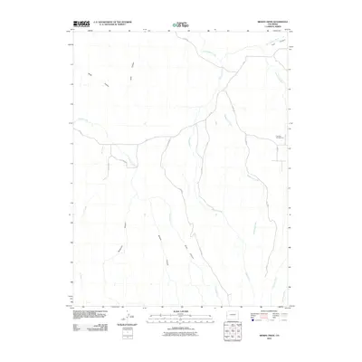
2010 Map of Bieser Creek
USGS Topo · Published 2010About this map
Little Dolores River and its numerous tributaries carve a complex drainage system through this high-altitude landscape in Mesa County. The terrain is defined by a dense network of canyons, including Kings Canyon, Toms Canyon, and McKenzie Canyon, which channel seasonal water toward the main river and Bieser Creek. Evidence of land use is centered around natural resource management and outdoor recreation, most notably at The Falls Campground near the confluence of several local washes. A sparse grid of rural routes like S 75/100 RD and 7 5/10 RD provides the only access through this dissected plateau, following the easier grades between Trail Canyon and the surrounding drainages. The naming of minor features like Briar Canyon and Clark Wash suggests a history of local ranching or exploration within this remote drainage basin.
Find a feature on this map
24 named features on this map. Tap any name to fly to it.
Don’t see what you’re looking for? This feature index may not catch every label — zoom into the map to look around manually.
Map Details
Editions of this 2010 Bieser Creek Map
This is the sole edition of this map. No revisions or reprints were ever made.
Other maps of this area

1885 · East Tavaputs
USGS Topo · 1:250,000

1885 · La Sal
USGS Topo · 1:250,000

1954 · Mt. Waas 1 NE
USGS Topo · 1:24,000

1954 · Mt. Waas 1 SE
USGS Topo · 1:24,000

1954 · Coates Creek
USGS Topo · 1:62,500

1956 · Westwater 4 SE
USGS Topo · 1:24,000

1956 · Moab
USGS Topo · 1:250,000

1956 · Grand Junction
USGS Topo · 1:250,000

1959 · Grand Junction
USGS Topo · 1:250,000

1959 · Moab
USGS Topo · 1:250,000