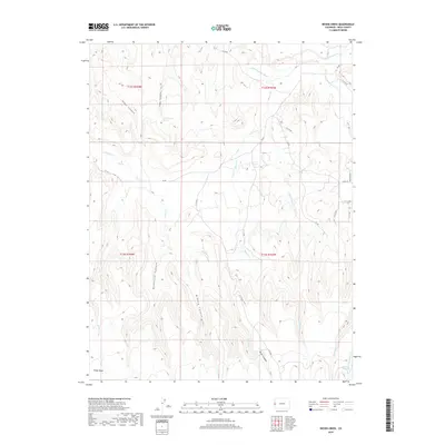
2019 Map of Bieser Creek
USGS Topo · Published 2019About this map
Pinon Mesa dominates the southern reaches of this Colorado landscape, where a network of deeply incised canyons and high-desert water sources defines the terrain. The Little Dolores River cuts across the northern section, fed by seasonal drainages such as Bieser Cr and Wilderness Cr. This 2019 survey documents a region where access is primarily restricted to a system of numbered backcountry roads like DS RD and 8.4 RD, reflecting the area's continued use for ranching and remote land management.
Find a feature on this map
31 named features on this map. Tap any name to fly to it.
Don’t see what you’re looking for? This feature index may not catch every label — zoom into the map to look around manually.
Map Details
Editions of this 2019 Bieser Creek Map
This is the sole edition of this map. No revisions or reprints were ever made.
Other maps of this area

1885 · East Tavaputs
USGS Topo · 1:250,000

1885 · La Sal
USGS Topo · 1:250,000

1954 · Mt. Waas 1 NE
USGS Topo · 1:24,000

1954 · Mt. Waas 1 SE
USGS Topo · 1:24,000

1954 · Coates Creek
USGS Topo · 1:62,500

1956 · Westwater 4 SE
USGS Topo · 1:24,000

1956 · Moab
USGS Topo · 1:250,000

1956 · Grand Junction
USGS Topo · 1:250,000

1959 · Grand Junction
USGS Topo · 1:250,000

1959 · Moab
USGS Topo · 1:250,000