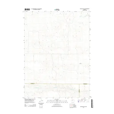
2014 Map of Big Bald Hill NE
USGS Topo · Published 2014About this map
West Birdwood Creek winds through the southern portion of this Nebraska landscape, where the borders of McPherson, Lincoln, and Keith counties converge. This 2014 survey reveals a region defined by its hydrography and sparse rural infrastructure, characteristic of the Sandhills transition zone. The map identifies the Valley View Cemetery as a key landmark for genealogical research and local history, situated near the eastern edge of the quadrangle. To the north, the terrain is marked by Lawyer Lake and the upper reaches of the North Fork Birdwood Creek. The intricate contour lines illustrate the complex dune-like topography typical of this part of Nebraska, providing a clear picture of the natural drainage patterns that have shaped land use and property boundaries across these three counties.
Find a feature on this map
7 named features on this map. Tap any name to fly to it.
Don’t see what you’re looking for? This feature index may not catch every label — zoom into the map to look around manually.
Map Details
Editions of this 2014 Big Bald Hill NE Map
This is the sole edition of this map. No revisions or reprints were ever made.
Other maps of this area

1898 · Paxton
USGS Topo · 1:125,000

1901 · Paxton
USGS Topo · 1:125,000

1949 · Flats
USGS Topo · 1:62,500

1949 · Wright Valley
USGS Topo · 1:62,500

1950 · Flats
USGS Topo · 1:62,500

1951 · Wright Valley
USGS Topo · 1:62,500

1954 · North Platte
USGS Topo · 1:250,000

1956 · North Platte
USGS Topo · 1:250,000

1957 · North Platte
USGS Topo · 1:250,000

1967 · North Platte
USGS Topo · 1:250,000