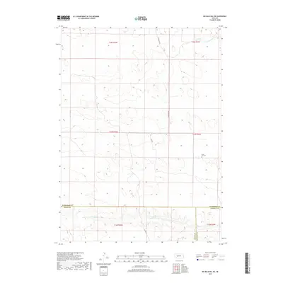
2017 Map of Big Bald Hill NE
USGS Topo · Published 2017About this map
The rolling sandhills of Nebraska are documented here at the intersection of three counties, where the high-plains landscape is defined by the drainage systems of the Birdwood Creek. Flowing through the southern portion of the sheet, the W Birdwood Cr and N Fork Birdwood Cr create a distinct valley system that contrasts with the surrounding upland terrain. This area remains largely open ranch land, serviced by a sparse network of paths including Diamond Bar Rd and Seiffer Dr. A solitary marker of local heritage, the Valley View Cem, sits on a rise above the valley, providing a genealogical anchor for the region. To the north, Lawyer Lake sits in a depression amongst the dunes, illustrating the typical hydrology of this part of the state where small bodies of water are tucked into the shifting topography.
Find a feature on this map
16 named features on this map. Tap any name to fly to it.
Don’t see what you’re looking for? This feature index may not catch every label — zoom into the map to look around manually.
Map Details
Editions of this 2017 Big Bald Hill NE Map
This is the sole edition of this map. No revisions or reprints were ever made.
Other maps of this area

1898 · Paxton
USGS Topo · 1:125,000

1901 · Paxton
USGS Topo · 1:125,000

1949 · Flats
USGS Topo · 1:62,500

1949 · Wright Valley
USGS Topo · 1:62,500

1950 · Flats
USGS Topo · 1:62,500

1951 · Wright Valley
USGS Topo · 1:62,500

1954 · North Platte
USGS Topo · 1:250,000

1956 · North Platte
USGS Topo · 1:250,000

1957 · North Platte
USGS Topo · 1:250,000

1967 · North Platte
USGS Topo · 1:250,000