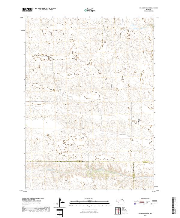
2021 Map of Big Bald Hill NE
USGS Topo · Published 2021About this map
The remote Sandhills terrain of western Nebraska is defined here by the convergence of Keith, Lincoln, and McPherson counties. In this sparsely populated landscape, the Valley View Cem serves as a lone localized landmark for genealogists and local historians tracking family roots in the high plains. The drainage network of the N Fork Birdwood Cr and W Birdwood Cr dictates the local geography, with isolated water bodies like Lawyer Lake providing vital resources in the arid hills. Infrastructure is minimal, consisting of a few secondary routes such as Diamond Bar Rd and Seifer Dr that navigate the township and range lines. The map captures the quiet persistence of rural land use at the turn of the 2020s, where county boundaries meet in a vast expanse of sectioned prairie.
Find a feature on this map
16 named features on this map. Tap any name to fly to it.
Don’t see what you’re looking for? This feature index may not catch every label — zoom into the map to look around manually.
Map Details
Editions of this 2021 Big Bald Hill NE Map
This is the sole edition of this map. No revisions or reprints were ever made.
Other maps of this area

1898 · Paxton
USGS Topo · 1:125,000

1901 · Paxton
USGS Topo · 1:125,000

1949 · Flats
USGS Topo · 1:62,500

1949 · Wright Valley
USGS Topo · 1:62,500

1950 · Flats
USGS Topo · 1:62,500

1951 · Wright Valley
USGS Topo · 1:62,500

1954 · North Platte
USGS Topo · 1:250,000

1956 · North Platte
USGS Topo · 1:250,000

1957 · North Platte
USGS Topo · 1:250,000

1967 · North Platte
USGS Topo · 1:250,000