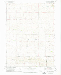
1972 Map of Big Bald Hill NE
USGS Topo · Published 1975About this map
Birdwood Creek and its northern fork, Birdwood Cr, anchor this landscape in the Nebraska Sandhills where the borders of McPherson, Keith, and Lincoln counties meet. The topography is defined by the unique drainage patterns of the high plains, where numerous isolated water sources like Lawyer Lake and West Springs provide essential moisture for the region's ranching economy. This 1972 survey highlights a pattern of dispersed rural settlement, with several family-held operations including the Moriarty Ranch, Arendorf Ranch, and Rundback Ranch connected by unimproved roads.
Find a feature on this map
17 named features on this map. Tap any name to fly to it.
Don’t see what you’re looking for? This feature index may not catch every label — zoom into the map to look around manually.
Map Details
Editions of this 1972 Big Bald Hill NE Map
This is the sole edition of this map. No revisions or reprints were ever made.
Other maps of this area

1898 · Paxton
USGS Topo · 1:125,000

1901 · Paxton
USGS Topo · 1:125,000

1949 · Flats
USGS Topo · 1:62,500

1949 · Wright Valley
USGS Topo · 1:62,500

1950 · Flats
USGS Topo · 1:62,500

1951 · Wright Valley
USGS Topo · 1:62,500

1954 · North Platte
USGS Topo · 1:250,000

1956 · North Platte
USGS Topo · 1:250,000

1957 · North Platte
USGS Topo · 1:250,000

1967 · North Platte
USGS Topo · 1:250,000