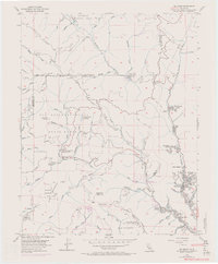
1955 Map of Big Basin
USGS Topo · Published 1970About this map
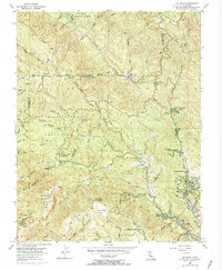
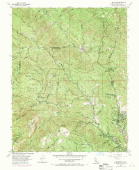
Big Basin Redwoods State Park and Portola State Park dominate this landscape within the Santa Cruz Mountains, illustrating the conservation and recreational development of the mid-20th century. The presence of Park Headquarters (Big Basin PO) serves as a focal point for the region's managed wilderness, while scattered settlements like Riverside Grove, Redwood Grove, and Wildwood along the San Lorenzo River indicate small clusters of community growth amidst the timber. A notable institutional presence is found at Camp Ben Lomond (California Youth Authority) to the south.
Find a feature on this map
62 named features on this map. Tap any name to fly to it.
Don’t see what you’re looking for? This feature index may not catch every label — zoom into the map to look around manually.
Map Details
Editions of this 1955 Big Basin Map
6 editions found
Other maps of this area

1897 · Palo Alto
USGS Topo · 1:62,500

1899 · Palo Alto
USGS Topo · 1:62,500

1902 · Santa Cruz
USGS Topo · 1:125,000

1940 · Halfmoon Bay
USGS Topo · 1:62,500

1940 · Ano Nuevo
USGS Topo · 1:62,500

1941 · Ano Nuevo Pt.
USGS Topo · 1:62,500

1941 · Palo Alto
USGS Topo · 1:62,500

1942 · Ano Nuevo
USGS Topo · 1:62,500

1943 · Palo Alto
USGS Topo · 1:62,500

1943 · Halfmoon Bay
USGS Topo · 1:62,500