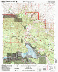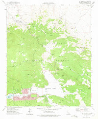
1971 Map of Big Bear City
USGS Topo · Published 1975About this map
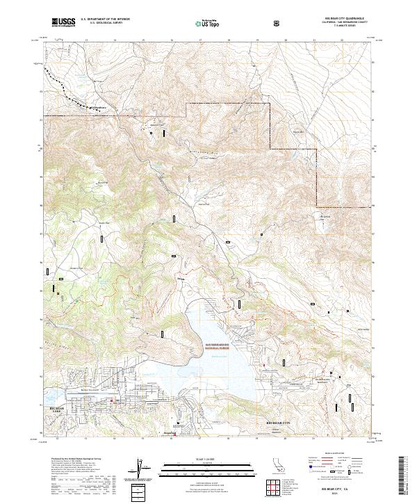
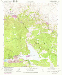
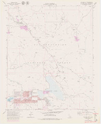
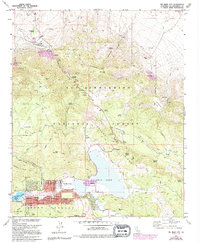
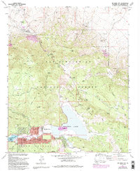
Doble stands as a focal point of historical mining activity on the north side of Gold Mountain, where the Doble Mine and a local Cem reflect the area's prospecting legacy within the San Bernardino National Forest. The landscape is defined by its industrial evolution, showing a transition from traditional gold mining at sites like the Mohawk Mine and Blue Quartz Mine to large-scale extraction at the Cushenbury Pit. The settlement of Big Bear City appears with its mid-century street grid, including Aeroplane Lane near the Big Bear City Airport and the Drive-in Theater. To the north, the Atchison Topeka and Santa Fe railroad serves the industrial corridor near Cushenbury Springs, while the southeastern portion of the map is dominated by the seasonal beds of Baldwin Lake and Erwin Lake.
Find a feature on this map
72 named features on this map. Tap any name to fly to it.
Don’t see what you’re looking for? This feature index may not catch every label — zoom into the map to look around manually.
Map Details
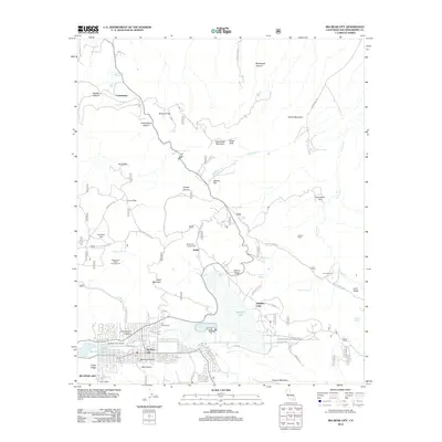
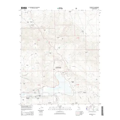
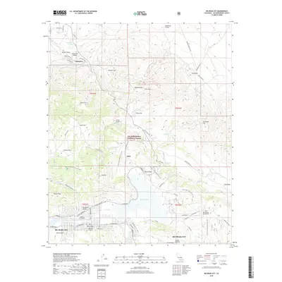
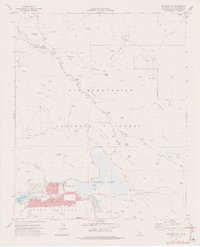
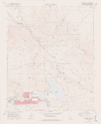
Editions of this 1971 Big Bear City Map
7 editions found
Historical Maps of Big Bear Lake Through Time
6 maps found