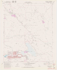
1971 Map of Big Bear City
USGS Topo · Published 1980About this map
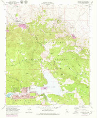
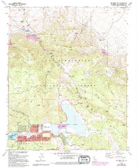
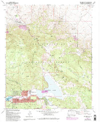
Big Bear City and the neighboring community of Sugarloaf anchor this high-altitude landscape during a period of transition in the late 1960s and 1970s. The map illustrates a developed residential grid near the Big Bear City Airport, contrasting sharply with the northern mining districts and the dry expanse of Baldwin Lake. Mining history is heavily represented through the presence of the Doble Mine, Mohawk Mine, and Blackhawk Mine, pointing to a legacy of extraction that preceded the region's mid-century growth. Grounded in the San Bernardino National Forest, the map also documents vital water sources such as Cushenbury Springs and Whiskey Springs, which were critical for both early prospectors and the cattle operations that frequented Smarts Ranch Road. The infrastructure of the Atchison Topeka and Santa Fe railroad line is visible in the northwest, serving industrial sites like the Marble Canyon Pit.
Find a feature on this map
65 named features on this map. Tap any name to fly to it.
Don’t see what you’re looking for? This feature index may not catch every label — zoom into the map to look around manually.
Map Details
Editions of this 1971 Big Bear City Map
7 editions found
Other maps of this area

1901 · Southern California Sheet No. 1
USGS Topo · 1:250,000

1902 · San Gorgonio
USGS Topo · 1:125,000

1904 · Southern California Sheet No. 1
USGS Topo · 1:250,000

1947 · Lucerne Valley
USGS Topo · 1:62,500

1949 · Lucerne Valley
USGS Topo · 1:62,500

1953 · San Bernardino
USGS Topo · 1:250,000

1954 · San Gorgonio Mountain
USGS Topo · 1:62,500

1955 · Old Woman Springs
USGS Topo · 1:62,500

1955 · Morongo Valley
USGS Topo · 1:62,500

1956 · San Bernardino
USGS Topo · 1:250,000