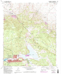
1971 Map of Big Bear City
USGS Topo · Published 1994About this map
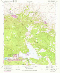
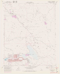
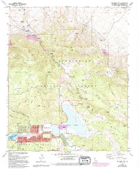
Baldwin Lake and the developing community of Big Bear City form the centerpiece of this high-elevation survey in the San Bernardino National Forest. The landscape is a complex network of mining history and seasonal recreation, where the high desert meets the mountain pine forest. Evidence of the region’s extractive past is scattered throughout the canyons, from the Doble Mine and Santa Fe Mine in the north to the Blue Quartz Mine near Bertha Ridge. The townsite expansion is visible through 1970s and 1980s updates, showing residential growth around the Big Bear City Airport and along Pioneer Lane.
Find a feature on this map
74 named features on this map. Tap any name to fly to it.
Don’t see what you’re looking for? This feature index may not catch every label — zoom into the map to look around manually.
Map Details
Editions of this 1971 Big Bear City Map
7 editions found
Other maps of this area

1901 · Southern California Sheet No. 1
USGS Topo · 1:250,000

1902 · San Gorgonio
USGS Topo · 1:125,000

1904 · Southern California Sheet No. 1
USGS Topo · 1:250,000

1947 · Lucerne Valley
USGS Topo · 1:62,500

1949 · Lucerne Valley
USGS Topo · 1:62,500

1953 · San Bernardino
USGS Topo · 1:250,000

1954 · San Gorgonio Mountain
USGS Topo · 1:62,500

1955 · Old Woman Springs
USGS Topo · 1:62,500

1955 · Morongo Valley
USGS Topo · 1:62,500

1956 · San Bernardino
USGS Topo · 1:250,000