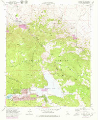
1971 Map of Big Bear City
USGS Topo · Published 1980About this map
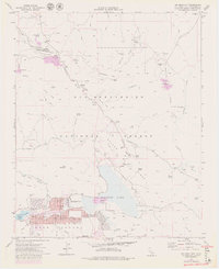
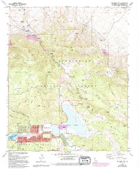
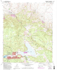
Big Bear City serves as the residential anchor for this high-altitude landscape, featuring a detailed street grid with thoroughfares like Country Club Blvd and Sherwood Blvd. The town is positioned at the western edge of Baldwin Lake, which, along with the nearby Sugarloaf and Erwin Lake settlements, reveals the development patterns of the Bear Valley area. The map illustrates a transition from established residential communities to the surrounding San Bernardino National Forest.
Find a feature on this map
64 named features on this map. Tap any name to fly to it.
Don’t see what you’re looking for? This feature index may not catch every label — zoom into the map to look around manually.
Map Details
Editions of this 1971 Big Bear City Map
7 editions found
Other maps of this area

1901 · Southern California Sheet No. 1
USGS Topo · 1:250,000

1902 · San Gorgonio
USGS Topo · 1:125,000

1904 · Southern California Sheet No. 1
USGS Topo · 1:250,000

1947 · Lucerne Valley
USGS Topo · 1:62,500

1949 · Lucerne Valley
USGS Topo · 1:62,500

1953 · San Bernardino
USGS Topo · 1:250,000

1954 · San Gorgonio Mountain
USGS Topo · 1:62,500

1955 · Old Woman Springs
USGS Topo · 1:62,500

1955 · Morongo Valley
USGS Topo · 1:62,500

1956 · San Bernardino
USGS Topo · 1:250,000