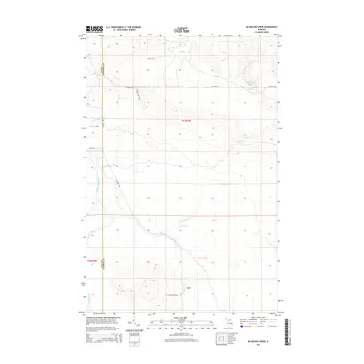
2014 Map of Big Beaver Creek
USGS Topo · Published 2014About this map
Tahquamenon River waters define this wetland-rich corridor of the Upper Peninsula, where the main channel meets the East Branch Tahquamenon River in a complex drainage network. The landscape is characterized by a dense system of seasonal and perennial streams, including Big Beaver Cr, Little Beaver Cr, and Riley Cr, which carve through the timbered sections of t47n r7w and t46n r7w.
Find a feature on this map
21 named features on this map. Tap any name to fly to it.
Don’t see what you’re looking for? This feature index may not catch every label — zoom into the map to look around manually.
Map Details
Editions of this 2014 Big Beaver Creek Map
This is the sole edition of this map. No revisions or reprints were ever made.
Other maps of this area

1951 · Emerson
USGS Topo · 1:24,000

1951 · Piatt Lake
USGS Topo · 1:24,000

1951 · Big Beaver Creek
USGS Topo · 1:24,000

1951 · Hulbert
USGS Topo · 1:24,000

1951 · Eckerman
USGS Topo · 1:24,000

1951 · Timberlost
USGS Topo · 1:24,000

1951 · Eckerman
USGS Topo · 1:62,500

1951 · Shelldrake
USGS Topo · 1:62,500

1954 · Sault Sainte Marie
USGS Topo · 1:250,000

1956 · Sault Sainte Marie
USGS Topo · 1:250,000