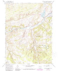
1966 Map of Big Beaver Reservoir
USGS Topo · Published 1988About this map
The Big Beaver Reservoir dominates the northeastern landscape of this Rio Blanco County terrain, marking a significant water management feature where the North Fork and South Fork converge. Downstream, the White River carves through the central valley, a critical artery for the region's hydrologic and ecological systems. This mid-1960s survey, with later woodland revisions, captures the area during a period of active resource and wildlife management. Near the confluence of the river forks, the Bel-aire Rearing Sta appears as a specialized facility, likely supporting the local aquatic ecosystem. The map also traces smaller drainages like Sawmill Creek, illustrating the complex network of mountain streams that feed into the larger reservoir and river system.
Find a feature on this map
6 named features on this map. Tap any name to fly to it.
Don’t see what you’re looking for? This feature index may not catch every label — zoom into the map to look around manually.
Map Details
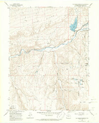
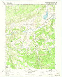
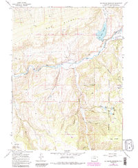
Editions of this 1966 Big Beaver Reservoir Map
4 editions found
Other maps of this area

1906 · Grand Hogback
USGS Topo · 1:125,000

1910 · Danforth Hills
USGS Topo · 1:125,000

1910 · Grand Hogback
USGS Topo · 1:125,000

1912 · Meeker
USGS Topo · 1:62,500

1914 · Meeker
USGS Topo · 1:62,500

1954 · Craig
USGS Topo · 1:250,000

1957 · Craig
USGS Topo · 1:250,000

1957 · Leadville
USGS Topo · 1:250,000

1958 · Craig
USGS Topo · 1:250,000

1959 · Leadville
USGS Topo · 1:250,000