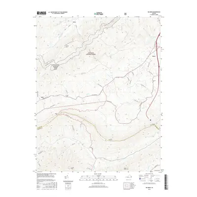
2016 Map of Big Bend
USGS Topo · Published 2016About this map
Suiter sits in the northern reaches of this mountain landscape, marking a rural enclave within the expansive boundaries of the Jefferson National Forest. This 2016 survey illustrates the high-elevation terrain of Bland County, where the topography dictates the flow of human settlement and transport. In the eastern portion of the quadrangle, the community of Bland serves as a primary local center, connected to the surrounding ridges by a network of state and local roads that wind through narrow valleys and gaps. The map captures the remote character of Big Bend and the tucked-away Crockett Cove, locations that preserve the quiet, agricultural and forested identity of Southwest Virginia. For those tracing regional roots, the precise charting of these small settlements against the complex relief of the Appalachian ranges provides an essential record of the area's modern footprint.
Find a feature on this map
4 named features on this map. Tap any name to fly to it.
Don’t see what you’re looking for? This feature index may not catch every label — zoom into the map to look around manually.
Map Details
Editions of this 2016 Big Bend Map
This is the sole edition of this map. No revisions or reprints were ever made.
Other maps of this area

1887 · Pocahontas
USGS Topo · 1:125,000

1889 · Wytheville
USGS Topo · 1:125,000

1891 · Pocahontas
USGS Topo · 1:125,000

1892 · Wytheville
USGS Topo · 1:125,000

1894 · Pocahontas
USGS Topo · 1:125,000

1895 · Pocahontas
USGS Topo · 1:125,000

1930 · Speedwell
USGS Topo · 1:62,500
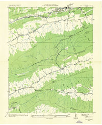
1935 · Nye Cove
USGS Topo · 1:24,000
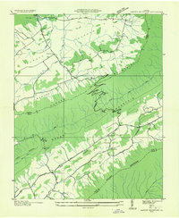
1935 · Garden Mountain
USGS Topo · 1:24,000
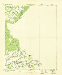
1935 · Groseclose
USGS Topo · 1:24,000