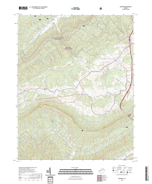
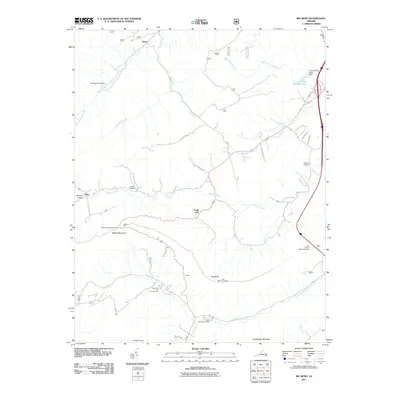
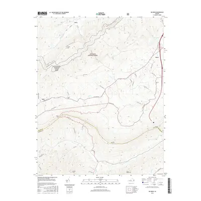
2022 Map of Big Bend
USGS Topo · Published 2022About this map
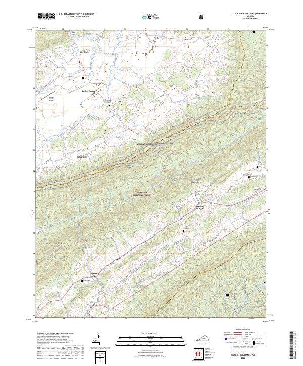
Walker Mtn and Little Walker Mtn dominate this section of southwest Virginia, where the rugged topography of the Jefferson National Forest defines the landscape. The map follows the boundary between Bland and Wythe counties as it crests the high ridges. Small settlements like Effna and Suiter are situated in the narrow valleys, connected by historic mountain routes like State Route 617.
Find a feature on this map
54 named features on this map. Tap any name to fly to it.
Don’t see what you’re looking for? This feature index may not catch every label — zoom into the map to look around manually.
Map Details
Editions of this 2022 Big Bend Map
This is the sole edition of this map. No revisions or reprints were ever made.
Historical Maps of Suiter Through Time
13 maps found
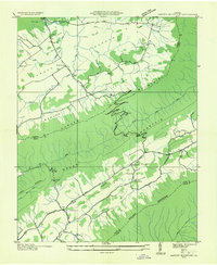
1935 Garden Mountain
Bland County, VA
1958 Garden Mountain
Bland County, VA
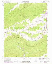
1968 Big Bend
Bland County, VA
2011 Big Bend
Bland County, VA
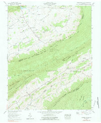
2011 Garden Mountain
Bland County, VA
2013 Big Bend
Bland County, VA
2013 Garden Mountain
Bland County, VA
2016 Big Bend
Bland County, VA
2016 Garden Mountain
Bland County, VA
2019 Big Bend
Bland County, VA
2019 Garden Mountain
Bland County, VA
2022 Big Bend
Bland County, VA
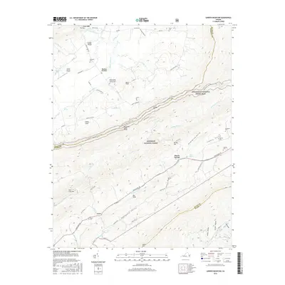
2022 Garden Mountain
Bland County, VA