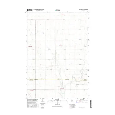
2016 Map of Big Bend City
USGS Topo · Published 2016About this map
The Chippewa River valley defines the southern reaches of this landscape, where the small settlements of Big Bend City and Hagan sit near the river's winding course. This portion of Chippewa and Swift counties is characterized by a high density of wetlands and small basins scattered across a strictly gridded agricultural interior. The confluence of Cottonwood Cr with the main river channel provides a natural break in the township and range survey lines that otherwise dictate the movement of local roads like Co Rd 61 and 100th St SW. For those researching local family history, the West Bank Cem serves as a lone landmark in the northeastern section of the quadrangle, situated along 90th Ave SW. The map illustrates a contemporary rural environment where water management and section-line farming remain the primary spatial drivers.
Find a feature on this map
39 named features on this map. Tap any name to fly to it.
Don’t see what you’re looking for? This feature index may not catch every label — zoom into the map to look around manually.
Map Details
Editions of this 2016 Big Bend City Map
This is the sole edition of this map. No revisions or reprints were ever made.
Other maps of this area

1953 · Saint Cloud
USGS Topo · 1:250,000

1957 · Saint Cloud
USGS Topo · 1:250,000

1958 · Saint Cloud
USGS Topo · 1:250,000

1958 · Milan
USGS Topo · 1:24,000

1958 · Big Bend City
USGS Topo · 1:24,000

1958 · Watson
USGS Topo · 1:24,000

1958 · Milan NW
USGS Topo · 1:24,000

1958 · Gracelock NW
USGS Topo · 1:24,000

1958 · Gracelock SW
USGS Topo · 1:24,000

1968 · Danvers
USGS Topo · 1:24,000