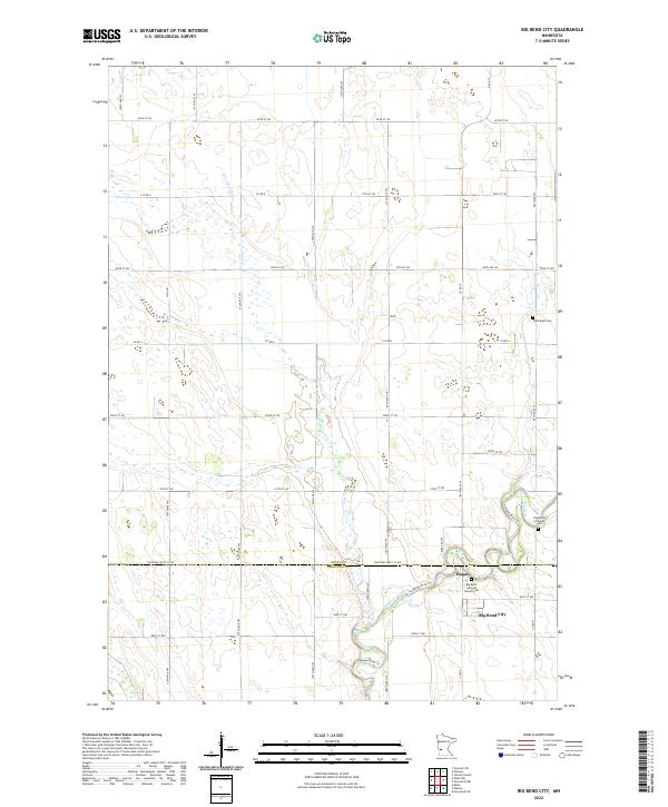
2022 Map of Big Bend City
USGS Topo · Published 2022About this map
The Chippewa River meanders through the heart of this prairie landscape, carving a distinct valley that defines the local geography. Near the southern river bends, the settlements of Hagan and Big Bend City serve as historic focal points for this rural community. The area is characterized by its organized section lines and a network of county roads like Co Rd 35 and Co Rd 9 that facilitate agricultural movement across the flatlands.
Find a feature on this map
44 named features on this map. Tap any name to fly to it.
Don’t see what you’re looking for? This feature index may not catch every label — zoom into the map to look around manually.
Map Details
Editions of this 2022 Big Bend City Map
This is the sole edition of this map. No revisions or reprints were ever made.
Other maps of this area

1953 · Saint Cloud
USGS Topo · 1:250,000

1957 · Saint Cloud
USGS Topo · 1:250,000

1958 · Saint Cloud
USGS Topo · 1:250,000

1958 · Milan
USGS Topo · 1:24,000

1958 · Big Bend City
USGS Topo · 1:24,000

1958 · Watson
USGS Topo · 1:24,000

1958 · Milan NW
USGS Topo · 1:24,000

1958 · Gracelock NW
USGS Topo · 1:24,000

1958 · Gracelock SW
USGS Topo · 1:24,000

1968 · Danvers
USGS Topo · 1:24,000